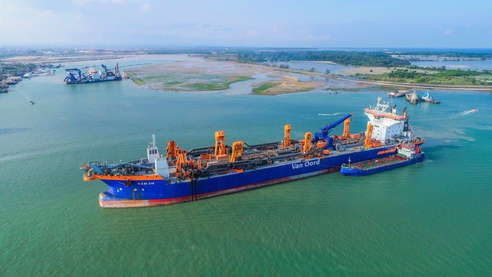
Van Oord Monthly Survey report and 3D Mapping – BALI
It was a great pleasure and honor to work for more than a year and a half alongside Van Oord for the port of Bali expansion project. We provided aerial progress reports and 3D mapping services for engineering teams. Thanks to the wonderful team with whom we worked and hope to see you soon for new projects.
MSDI is the UAV industry service branch from Bali Drone Production – #vanoord #drone #uavservices #msdi #bali #3dmapping #survey #indonesia
Customer
Van Oord – Pelindo 3
What We Did
UAV 3D Mapping / centimeter topography / progress report survey
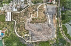
Progress report
Videography and photography services for progress report
Progress report
Videography and photography services for progress report
Progress report
Videography and photography services for progress report
Progress report
Videography and photography services for progress report
Progress report
Videography and photography services for progress report
DSM
Digital Surface Model
3D Point Cloud
georeferenced colorized point cloud