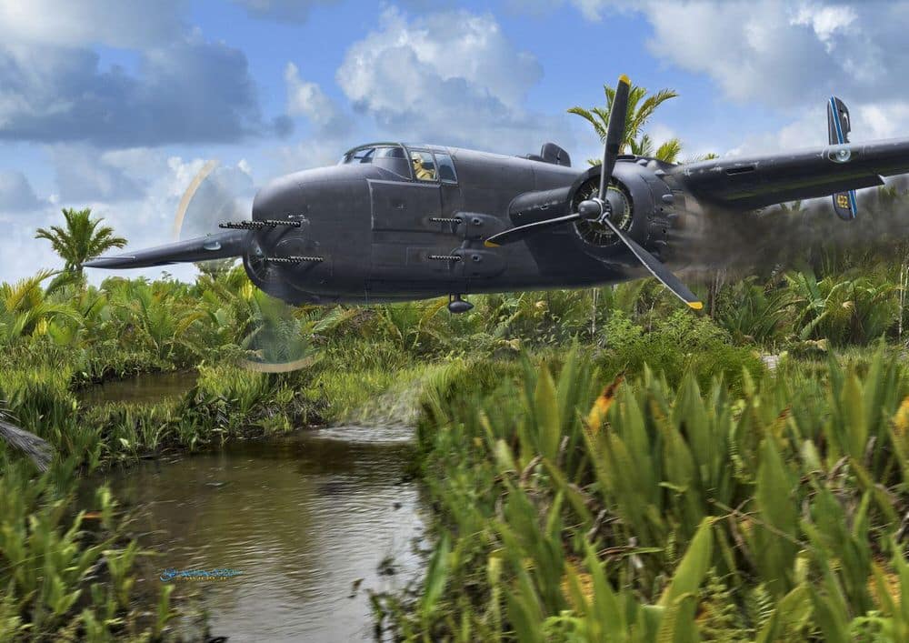
The project aims to locate a World War II-era plane that crashed and remains submerged in a swamp in West Papua. Partnered with a private historical company, this initiative seeks to use photogrammetry and drone technology to map the crash site and uncover historical artifacts.
Continue readingSmart Waste Management: Monitoring Bali’s Largest Landfill with Drones
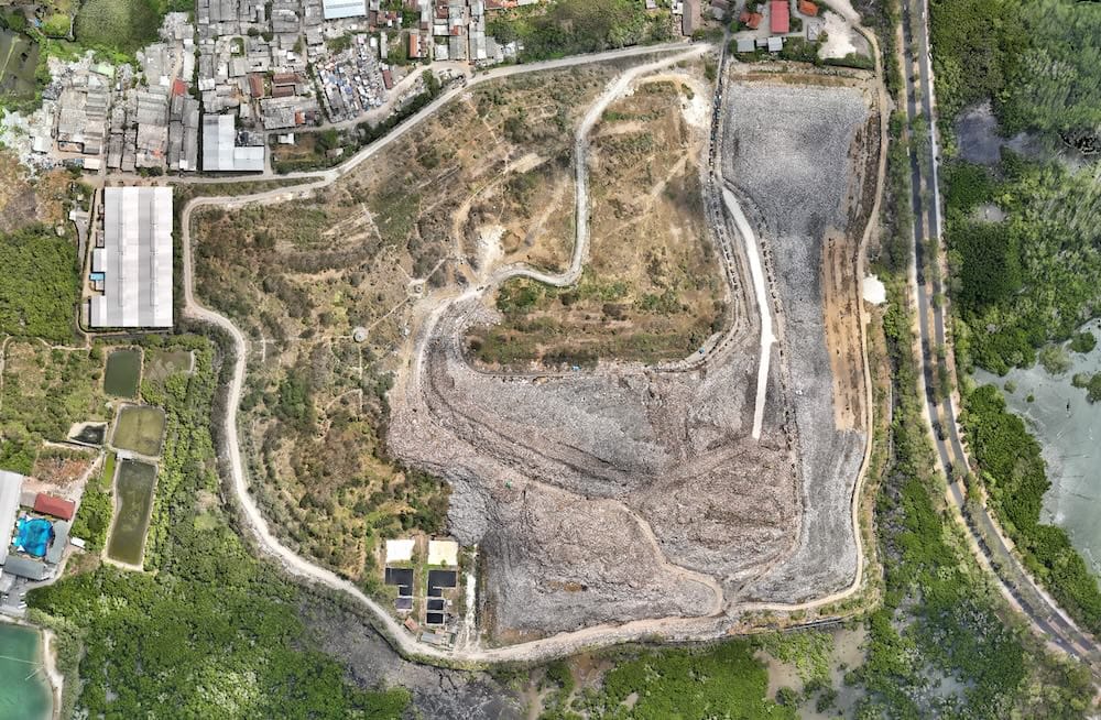
The project focuses on environmental monitoring of TPA Suwung, Bali, using photogrammetry technology. Partnered with HarvestWaste, the initiative aims to calculate trash volumes and estimate when the landfill will reach its maximum capacity.
Continue reading

