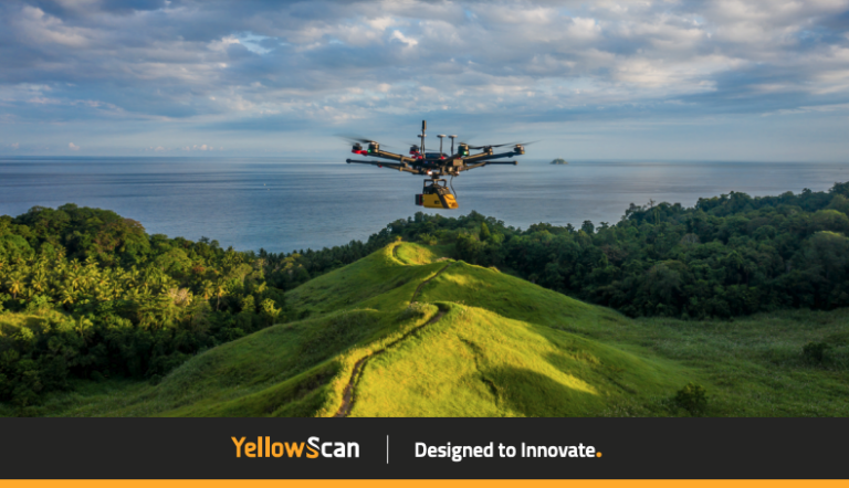
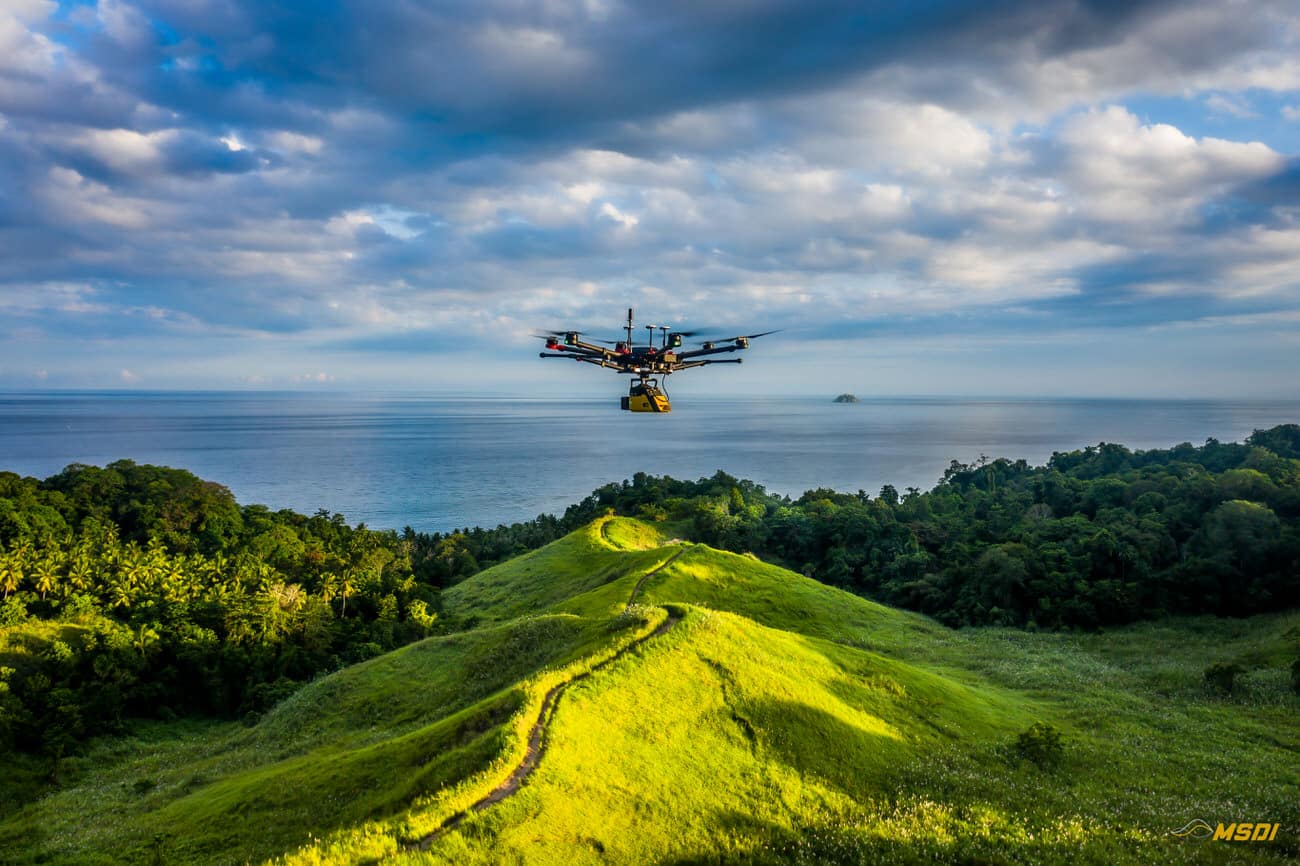
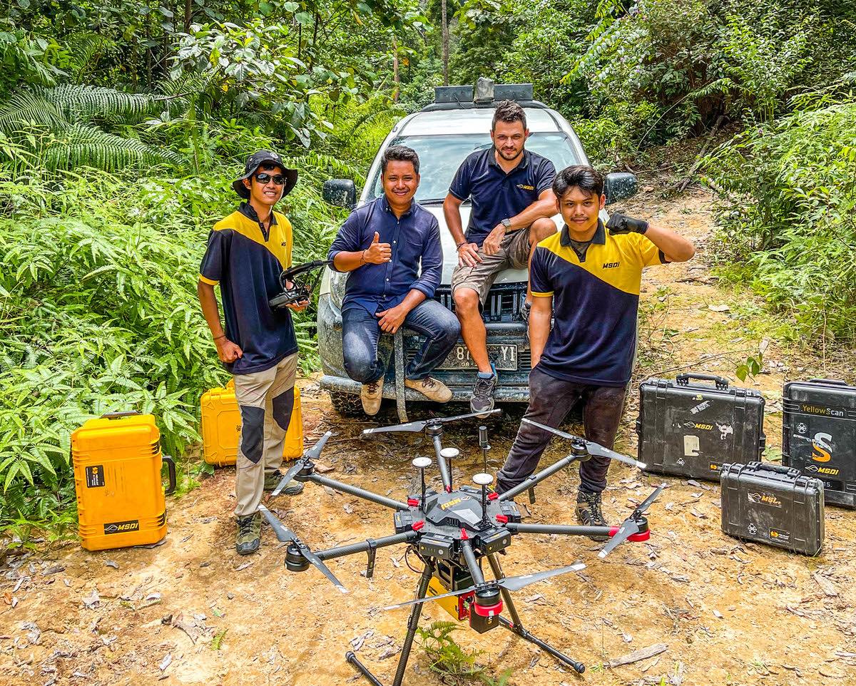
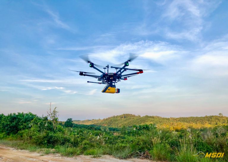
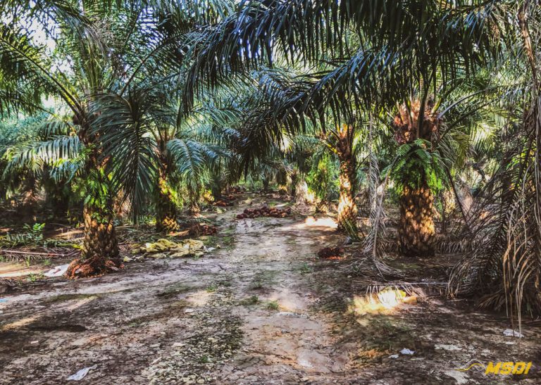
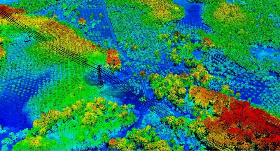
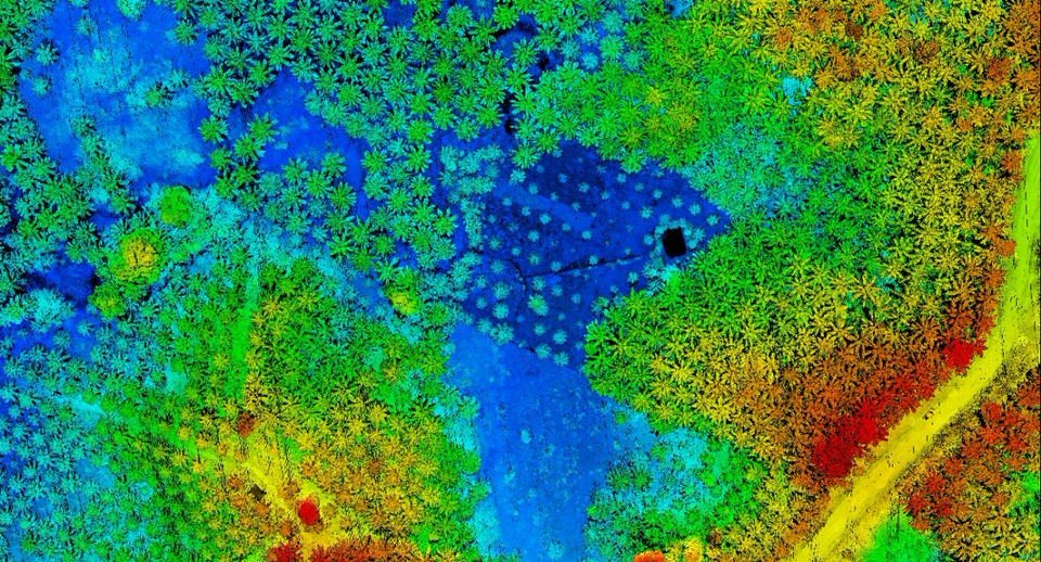
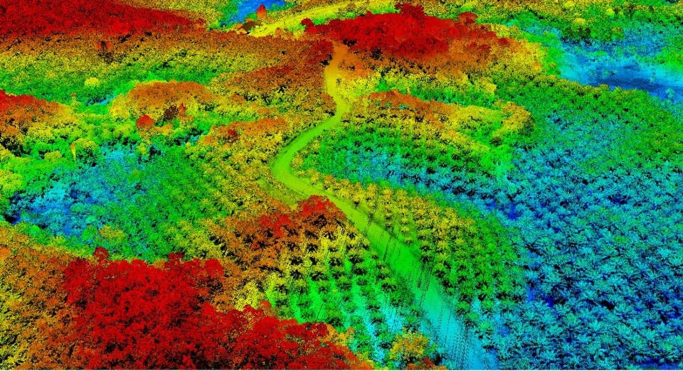
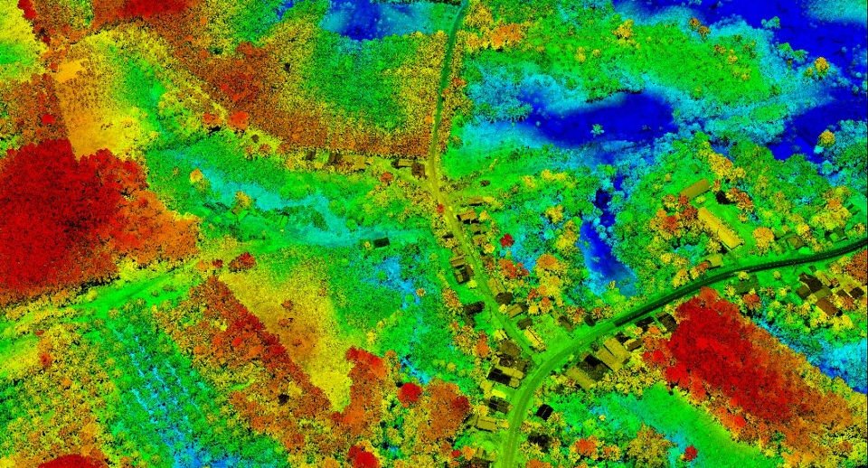
Discover the amazing success story redacted by yellowscan about our last project in Temboan, North sulawesi
Continue reading500ha – Innovative LiDAR Technology Accelerates Reforestation Efforts in North Sulawesi, Indonesia
Through a collaboration between MSDI and the Masarang Foundation, LiDAR scans facilitated fast and accurate topographic and hydrologic analysis, optimizing tree planting and resource allocation. This partnership exemplifies the potential of geomatics and advanced technology in environmental conservation, inspiring other organizations to adopt such methods for a greener, more sustainable future.
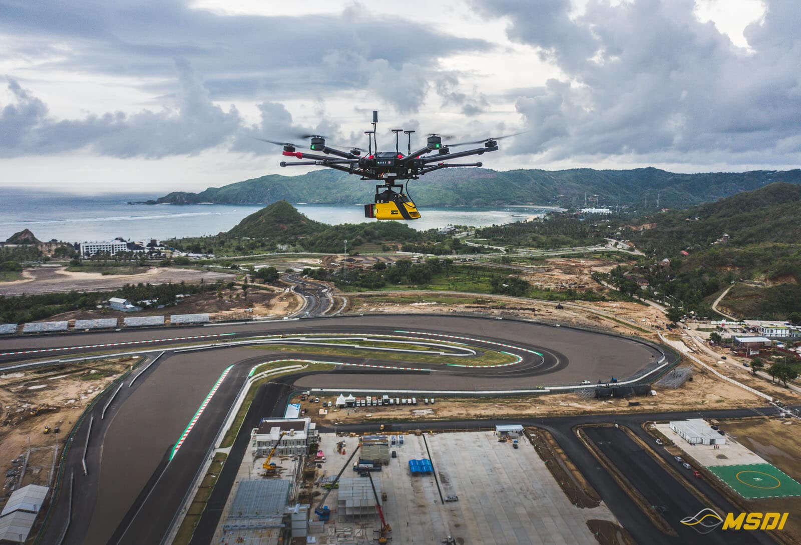
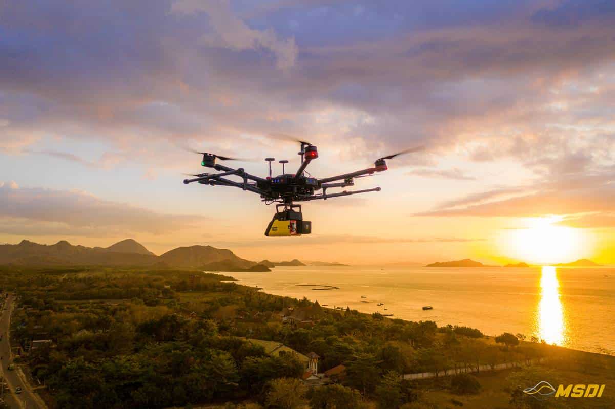
Continue readingMapping Mandalika International Circuit in Lombok – MotoGP22
Video games are becoming more and more sophisticated and development studios are pushing realism even further thanks to new technologies and ever more powerful game consoles over the years. This is why the challenge of our project, for the development studio Milestone, was to…
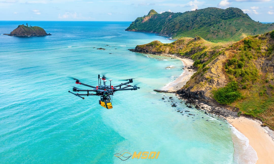
Continue reading550ha Acquired with Lidar in Lombok for real estate development
Video games are becoming more and more sophisticated and development studios are pushing realism even further thanks to new technologies and ever more powerful game consoles over the years. This is why the challenge of our project, for the development studio Milestone, was to…
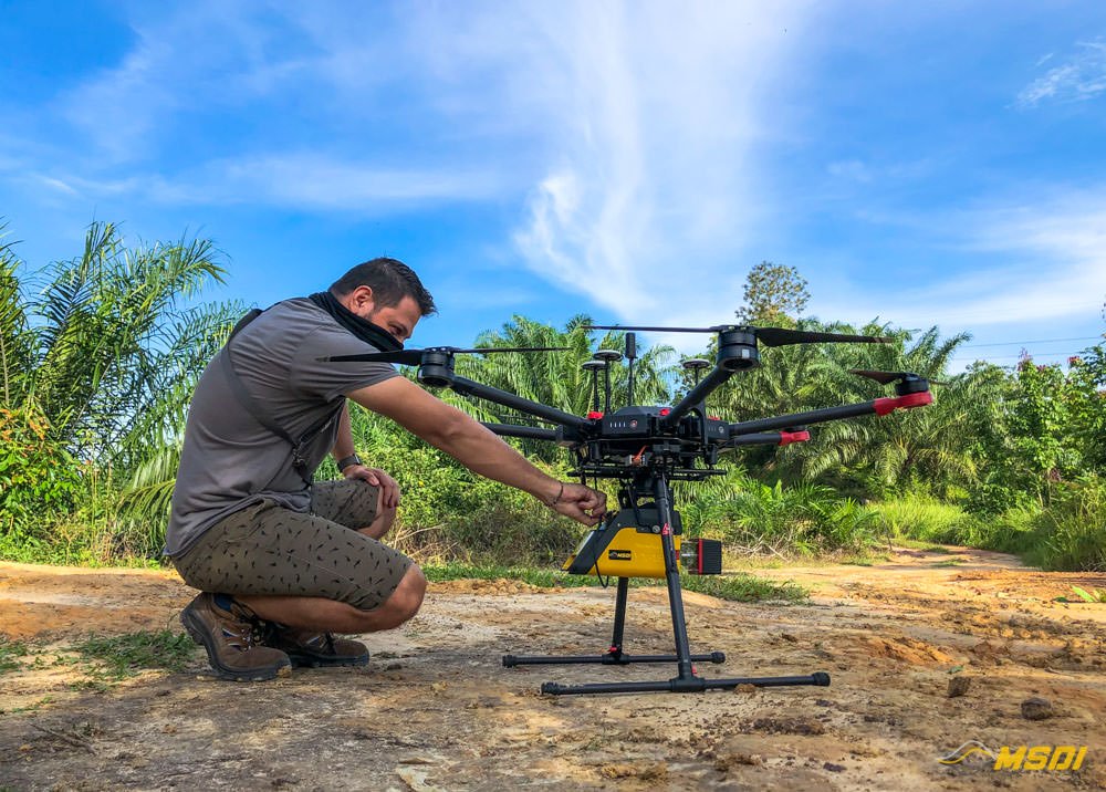
Continue reading5000 Ha Lidar Acquisition for mining development in Melak – Kalimantan
Kalimantan, also known as Borneo, is rich in underground resources and a favorite playground for mining companies. Kalimantan is the largest island in Indonesia and is the 5th largest island in the world. Our new project in the Melak region gave us a hard…
Continue reading20Ha Lidar mapping in Surabaya – Java Timur
It was fast but it was nice. We did a mapping of approximately 20Ha in the area of Surabaya this october. The project included the data acquisition by lidar and photogrammetry.
Continue reading25 km of lidar mapping corridor in Labuan Bajo – Flores
Another project successfully completed in record time. We were fortunate to be commissioned for a 25Km corridor mapping by Lidar and photogrammetry.
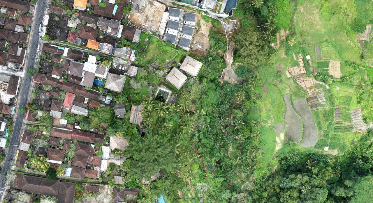
Continue readingLidar topography for Hotel renovation program in Ubud – Bali
With the aim of rebuilding a hotel from zeros, we intervened in Ubud to establish a 3D plan of a land with existing facilities and buildings…
Continue reading
