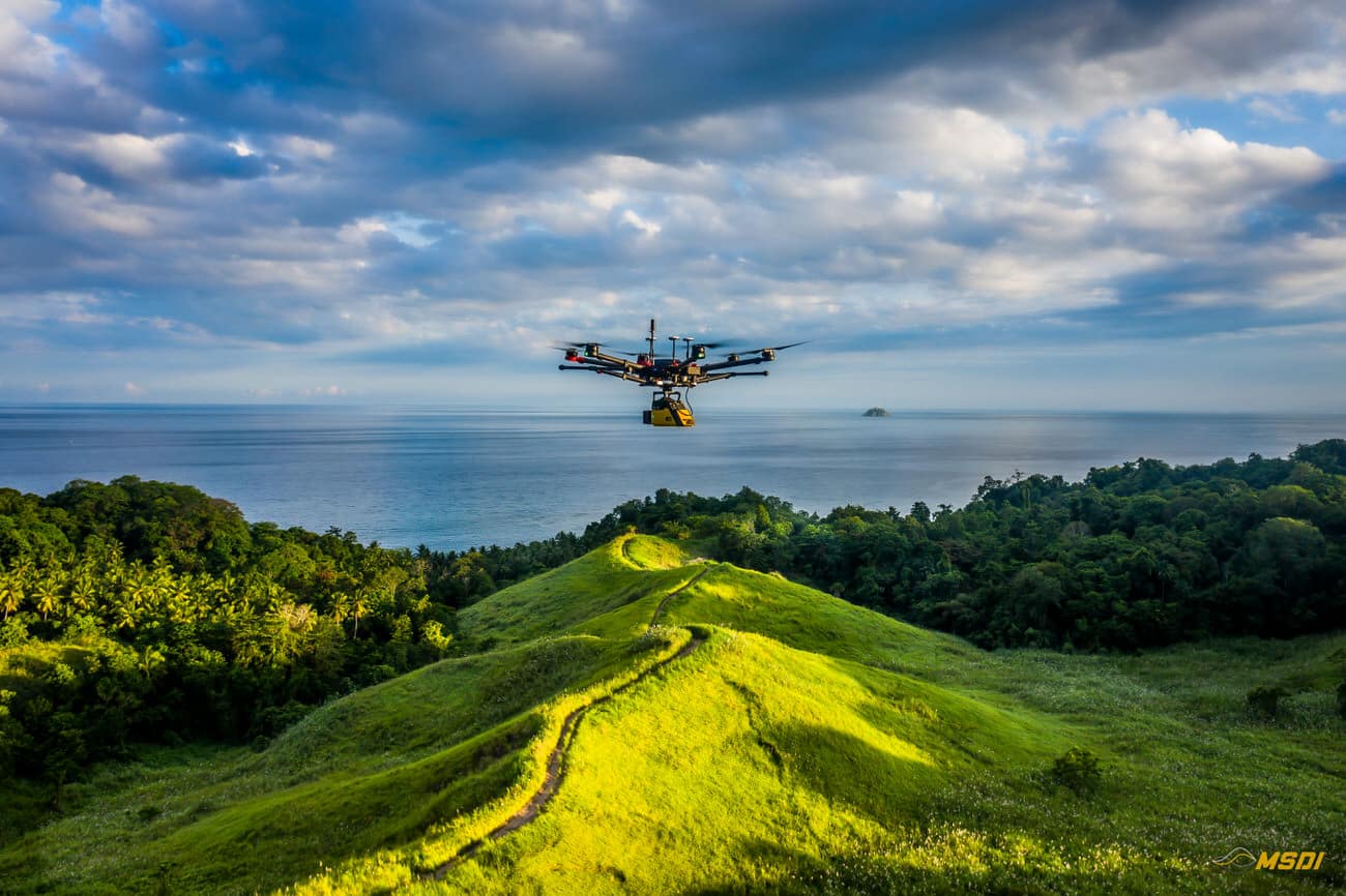
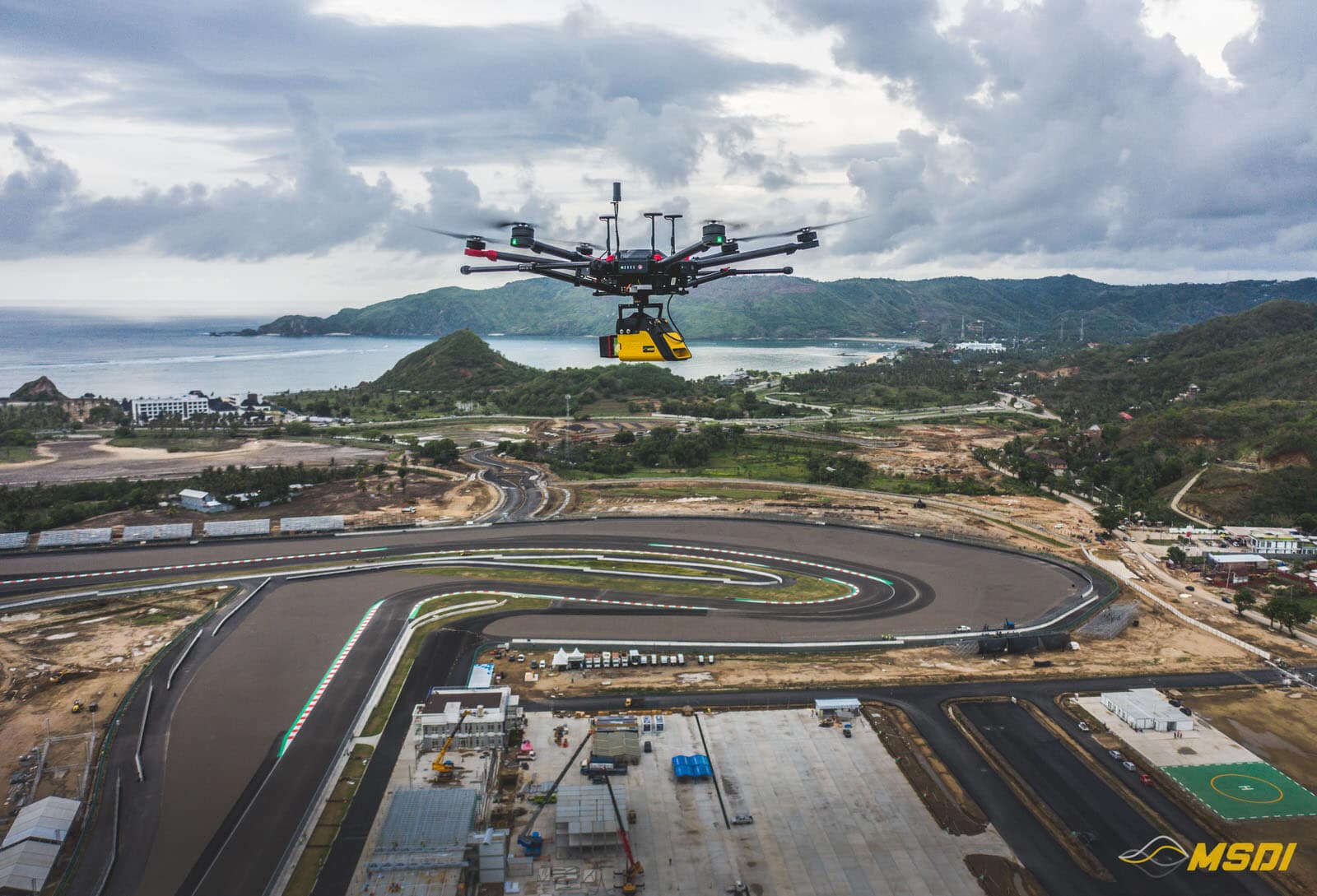
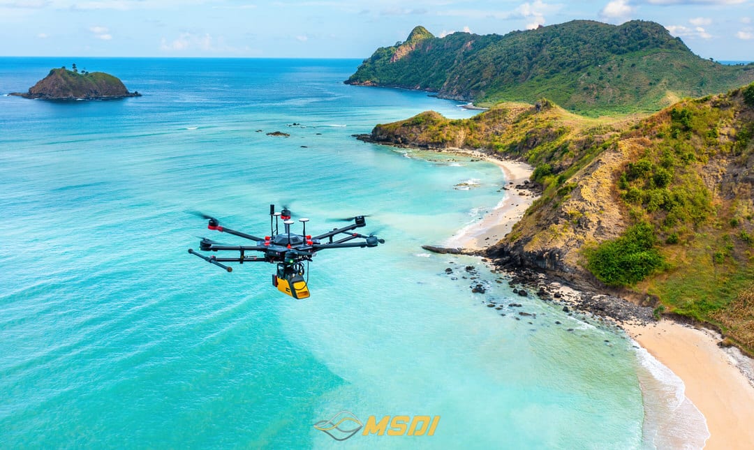
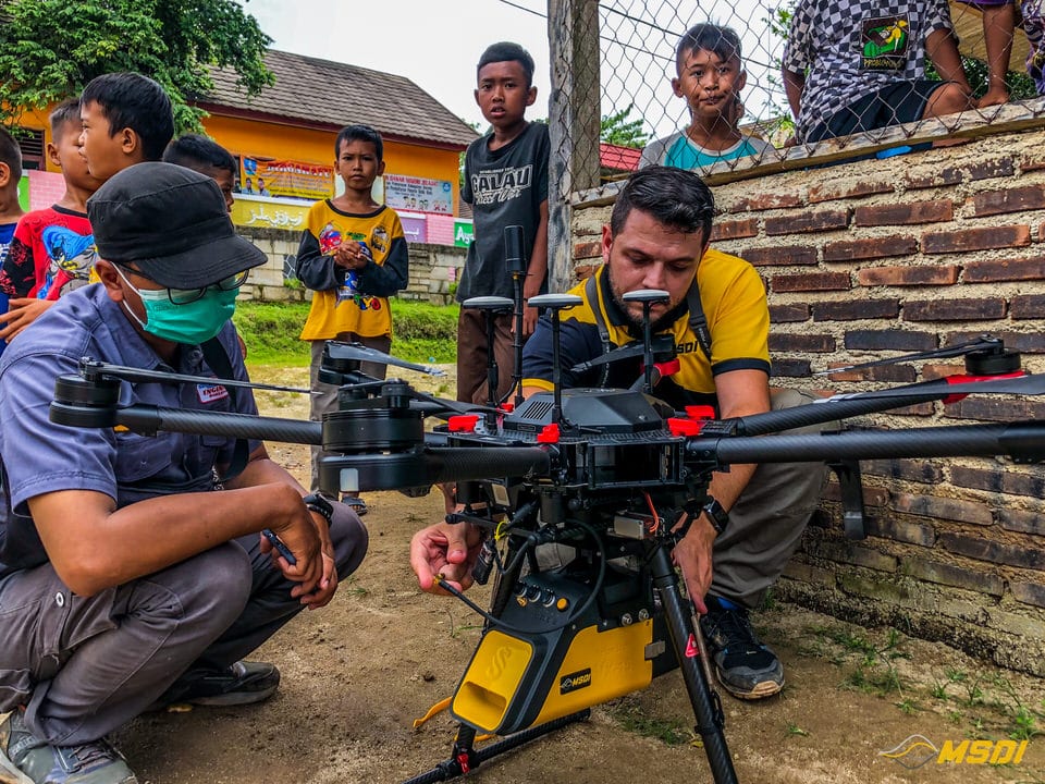
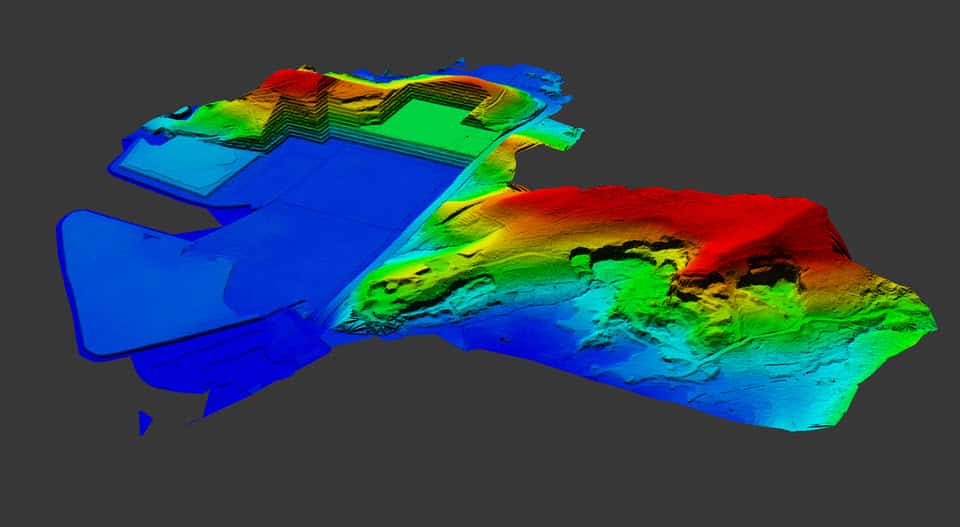
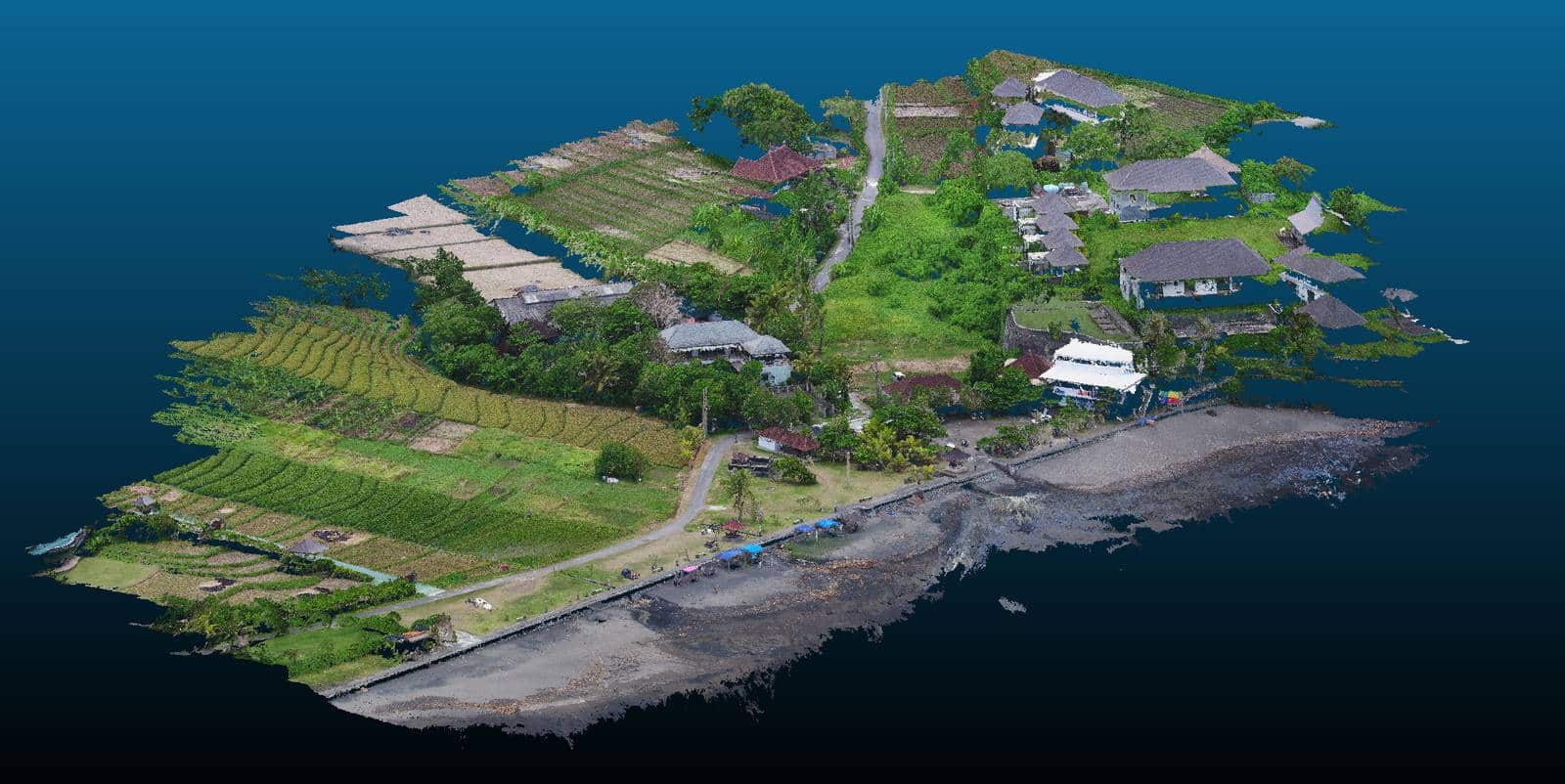
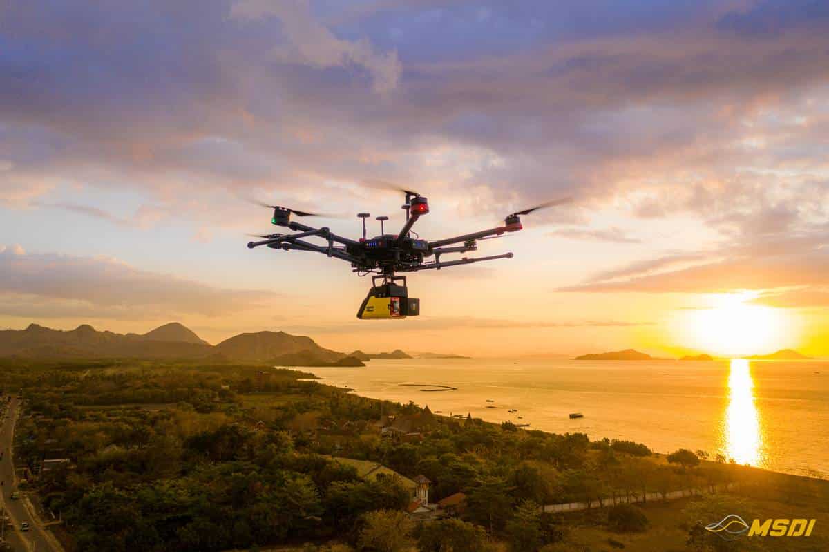
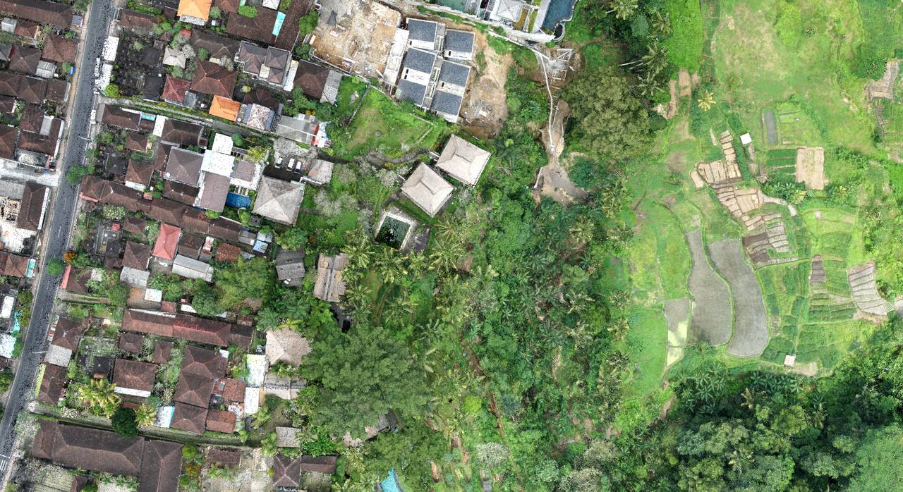
Through a collaboration between MSDI and the Masarang Foundation, LiDAR scans facilitated fast and accurate topographic and hydrologic analysis, optimizing tree planting and resource allocation. This partnership exemplifies the potential of geomatics and advanced technology in environmental conservation, inspiring other organizations to adopt such methods for a greener, more sustainable future.
Continue readingMapping Mandalika International Circuit in Lombok – MotoGP22
Video games are becoming more and more sophisticated and development studios are pushing realism even further thanks to new technologies and ever more powerful game consoles over the years. This is why the challenge of our project, for the development studio Milestone, was to…
Continue reading550ha Acquired with Lidar in Lombok for real estate development
Video games are becoming more and more sophisticated and development studios are pushing realism even further thanks to new technologies and ever more powerful game consoles over the years. This is why the challenge of our project, for the development studio Milestone, was to…
Continue reading32 km of PowerLine inspection with Lidar in Serang and Sukabumi – Java
Indonesia has an extremely favorable climate for vegetation development: abundant sun, high humidity and regular rains, so the landscape can change at high speed. This is why the National electricity distributor, PLN, must regularly inspect the high voltage lines, in order to do proactive maintenance to avoid any contact between vegetation and the catenaries.
Continue reading110ha Lidar and photogrammetry mapping in Cilegon – Banten
Our job here was to acquire 110ha with lidar and photogrammetry for a new construction site. The weather condition during the mission was very windy, so to keep everyone safe
Continue readingFront beach Photogrammetry in Tabanan – Bali
Fortunately, not all Bali investors have given up in the face of the Covid, and some of them are taking advantage of this somewhat quieter period to advance their projects.
Continue reading20Ha Lidar mapping in Surabaya – Java Timur
It was fast but it was nice. We did a mapping of approximately 20Ha in the area of Surabaya this october. The project included the data acquisition by lidar and photogrammetry.
Continue reading25 km of lidar mapping corridor in Labuan Bajo – Flores
Another project successfully completed in record time. We were fortunate to be commissioned for a 25Km corridor mapping by Lidar and photogrammetry.
Continue readingLidar topography for Hotel renovation program in Ubud – Bali
With the aim of rebuilding a hotel from zeros, we intervened in Ubud to establish a 3D plan of a land with existing facilities and buildings…
Continue readingCollaboration with the Deputy Governor of Penajam Paser Utara – Kalimantan
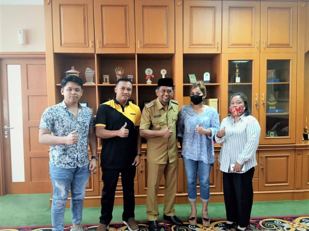
With a great pride and respect, MSDI was invited by the Deputy Governor of Penajam Paser Utara (PPU), Ir.H.Hamdam to discuss a number of programs in the future and the way our system works in a professional manner. With all MSDI representatives in Kalimantan
Continue reading
