Skip to content
  • May 20, 2025
  • +62 813 3961 9265
 
Twitter Facebook-f Whatsapp Instagram
  • English
  • Français
  • Bahasa Indonesia
MSDI
  • Home
  • Services
    • Our Services
    • Aerial Survey & 3D Mapping
    • LiDAR Mapping
    • Contours Lines
    • Rental
  • Industries
    • Civil Engineering
    • Oil & Gas
    • Mining and Quarry
    • Forestry
    • Transmission & Powerline
    • Infrastructures & Transportation
  • About
    • Who we are
    • Projects
    • Blog
    • Partnership & Job Vacancy
  • Contact

Tag: 3D Mapping

  1. Home
  2. Tag Archives: 3D Mapping

3D mapping for hotel development project in Gili Asahan – Lombok

Gili Asahan - Lombok

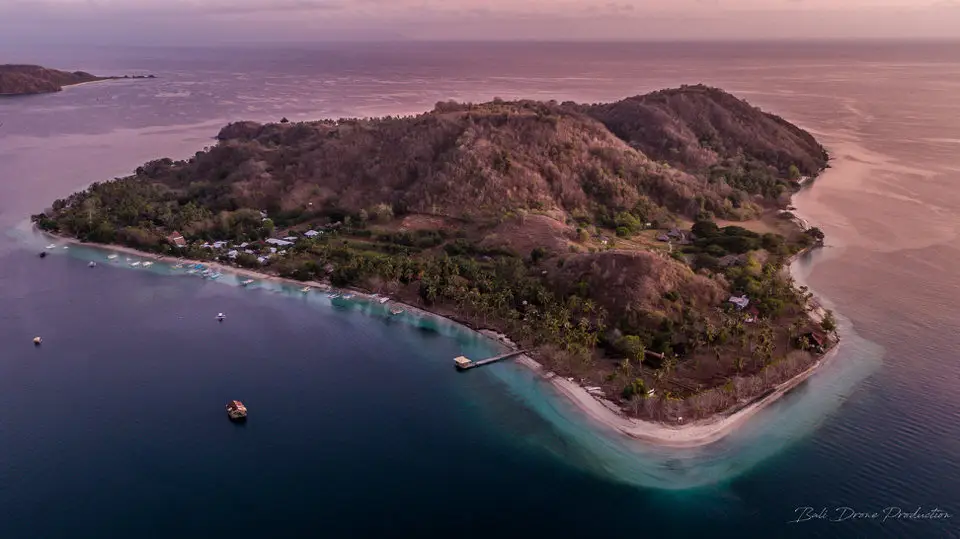
Another example where the border between work and pleasure does not exist. The MSDI team recently conducted a 3D photogrammetric mapping mission to Gili Asahan Island, located southwest of Lombok

Continue reading
3D Mapping Aerial UAV Photogrammetry 3D Services Photogrammetry UAV Mapping UAV survey

Private land development in Pering Gianyar – BALI

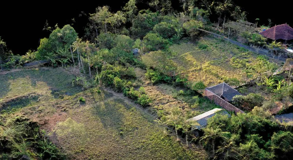
Yet another project for a land development, located in Pering in the Gianyar region of Bali for a private client.

Continue reading
3D Mapping Aerial UAV Photogrammetry 3D Services Cartographie 3D Cartographie par drone Photogrammetry

Trump Hotel Project – Tanah Lot – BALI

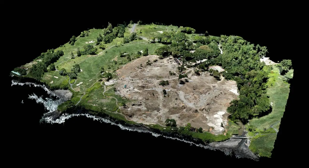
In order to set up security teams on the new construction site of Donald Trump’s real estate project, we were commissioned to establish a 3D map of the land

Continue reading
3D Mapping Aerial UAV Photogrammetry 3D Services Bali Photogrammetry UAV Mapping

Categories

  • Mapping
  • Posts
  • Projects
  • Video production

Recent Posts

  • Unearthing the Past: High-resolution Photogrammetry in the Search for a World War II Plane in West Papua
  • Smart Waste Management: Monitoring Bali’s Largest Landfill with Drones
  • They speak about us: Yellowscan NGO Success story
  • 500ha – Innovative LiDAR Technology Accelerates Reforestation Efforts in North Sulawesi, Indonesia
  • Mapping Mandalika International Circuit in Lombok – MotoGP22

Recent Comments

    MSDI is the specialized Mapping branch from PT. Bali Drone Production

    Take a minute to learn more about us and visit our other websites.

    About us
    Bali Drone Production Logo
    MSDI

    PT. Bali Drone Production
    JL Tukad Balian No.154B,
    Denpasar, Bali 
    Email: contact@msdi.co.id
    Phone: +62 838 46579455
    HP: +62 813 3961 9265

    Sister Branch:

    • www.BaliDroneProduction.com

    Instagram

    Social Network

    Whatsapp Facebook-f Instagram Twitter Youtube

    Partnership & Job Vacancy
    Privacy

    Languages

    • EnglishEnglish
    • FrançaisFrançais
    • Bahasa IndonesiaBahasa Indonesia
    • EnglishEN
    • FrançaisFR
    • Bahasa IndonesiaID

    Copyright – All Rights Reserved © 2022 – Hosted by RWCOM