Equipment Rental
Mapping & Survey instruments
Adapt your expenses to your projects And control your costs.
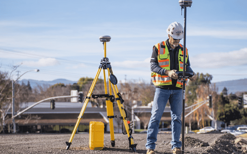
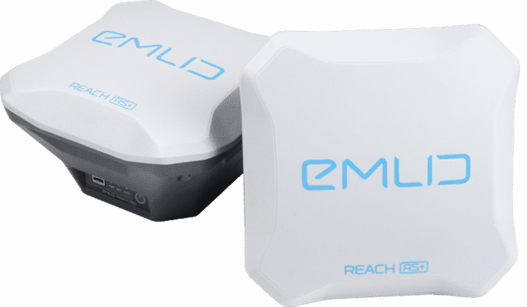
The rental of equipment is a very good alternative to limit investment costs and smooth out expenses and thus control them. MSDI offers the rental of high-end GNSS RTK GPS equipment for your precision projects. We also offer cheaper equipment for smaller projects that do not require advanced equipment.
Save Money
Start renting your GNSS equipment with MSDI and save on investment, maintenance, and hardware renewal. For companies with no year-round project, renting is the best solution, and the cheapest way to work with quality equipment.
Stay updated
Thanks to the rental, you always have up-to-date and state-of-the-art equipment. Equipment for topographic surveys is relatively expensive and must be amortized over a long period, but with a rental, no more worries, rent when you need it.
Save your project
You are on a construction site and your equipment has just broken down? Don't worry, you can rent what you need for a short or long period. contact us.
Single Base/Rover
Full Set
Dual Base + Rover
Single Base/Rover
Full Set
Dual Base + Rover
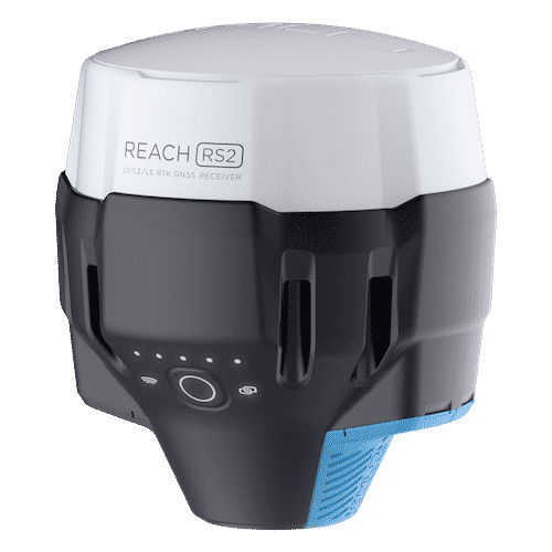
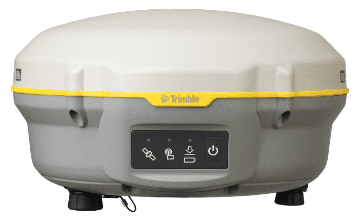
Reach RS2
Full Set
Reach RS+
Reach RS2
Full Set
Reach RS+
Mapping drones and UAVs for rent
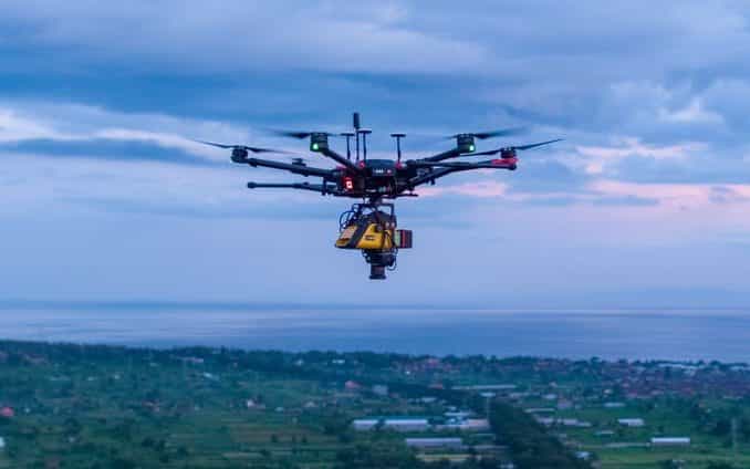
MSDI is providing a rental service of professional drones for 3D mapping purposes or any other kind of UAV activities. You can rent a drone alone if you already have the skills or the team to operate it, or you can hire one of our pilots to enjoy the full capabilities of the equipment, as our operators are professional drone pilots certified.
Matrice 600 PRO &
Emlid Reach M2
Rent a DJI matrice 600 pro for your mapping jobs that need heavy lift and safety
- 6KG payload
- Magnetic interference isolation
- Up to 35min flight
- Dual operator option
- Triple GPS redundancy
- Industrial applications
- 6 propellers for more safety
- 5km range
- PPK/RTK with Emlid Reach M2
Prices start at 9M IDR (580$ USD)
Inspire 2 X5S
Rent a DJI Inspire 2 for your mapping job and Inspection mission
- Interchangeable cameras
- Different lenses 15mm, 25mm, and 45mm
- Up to 30min flight
- Dual operator option
- 360° rotation camera
- Up to 85km/h
- Batterie redundancy
- 5km range
- Obstacle avoidance sensor
Prices start at 4M IDR (260$ USD)
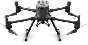
Matrice 300 RTK
Rent a DJI Matrice 300 RTK for your mapping job and Inspection mission
- Interchangeable payload
- PPK/RTK
- Up to 3 different payload
- Up to 50min flight time
- Advanced AI capabilities
- 6 Directional Sensing & positioning
- NDVI and Near-infrared option
- 23m/s max speed
- Industrial Grade
- 15km control range
- IP45 water & dust rating
Prices start at 9M IDR (580$ USD)
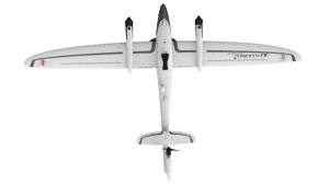
Quantum Trinity F90+
Rent a Quantum Trinity F90+ for your mapping job and Inspection mission
- Interchangeable payload
- PPK
- 42 Megapixels
- Up to 90min flight
- 700 ha/flights
- NDVI and Near-infrared option
- cruise speed 62km/h
- VTOL Vertical take-off and landing
- 7,5km control range
- 100km flight Range
Prices starts at 15M IDR (990$ USD)
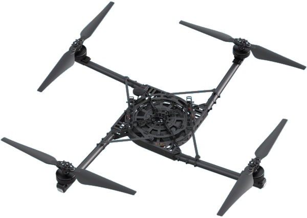
Freefly Alta X
Rent a Freefly Alta X for your mapping jobs that need heavy lift and safety
- 15KG payload
- Magnetic interference isolation
- Up to 50min flight
- RTK GPS built-in
- Industrial applications
- Compatible flight planners
- 10km range
- ActiveBlade for low vibration
- Multi payload compatible
Prices start at 20M IDR (1250$ USD)
LiDAR sensors for rent
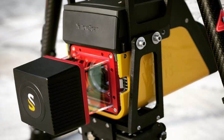
Lidar sensors are the new trending technology to process land surveys and civil engineering missions. MSDI is providing a rental service of High-end lidar sensors with survey-grade certification. Our UAV operation engineers will be happy to support you in your project and accompany you with our equipment on the field. Check our Lidar sensors that we have available below, and contact us if you have any questions or requests.
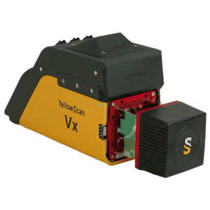
Yellowscan VX-15
Rent a lidar Yellowscan VX-15 sensor for your mapping job and topographic survey missions
- Laser Riegl MiniVUX-1UAV
- IMU Applanix APX-15
- lightweight and reliable
- long-range laser scanner – up to 250m
- 100’000 points/s
- High accuracy: 1cm
- Precision: up to 1,3cm
- Survey Grade certified
- 5 echos capable
Contact our team for pricing
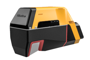
Yellowscan Voyager
Rent a lidar Yellowscan Voyager sensor for your mapping job and topographic survey missions
- Laser Riegl VUX120
- IMU Applanix APX-20
- lightweight and reliable
- Multi-platform: UAV, Helicopter, Aircraft, ULM
- long-range laser scanner – up to 720m
- 2’000’000 points/s
- High accuracy: 0,5cm
- Precision: up to 1cm
- Survey Grade certified
- 15 echos capable
Contact our team for pricing

