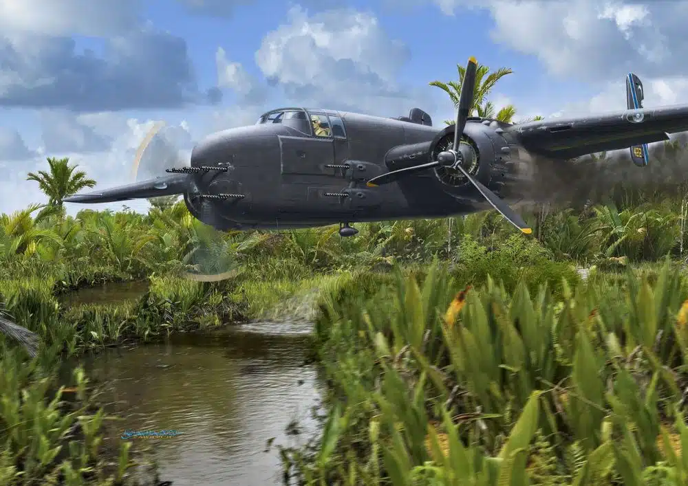
The project aims to locate a World War II-era plane that crashed and remains submerged in a swamp in West Papua. Partnered with a private historical company, this initiative seeks to use photogrammetry and drone technology to map the crash site and uncover historical artifacts.
Client
Historical researcher and author
WHAT WE DID
High Resolution Photogrammetry
During World War II, Papua, Indonesia became a critical battleground as it lies between Japan and Australia, making it a key strategic location. Intense battles took place in the region, with Allied and Japanese forces compete for control. Many planes involved in these operations crashed in Papua’s dense jungles and swamps due to combat, mechanical failures, or challenging terrain, leaving behind remains of history waiting to be uncovered.
On the first day, our expedition began with a challenging journey to Kais Pantai, which took nearly half a day to complete. The road conditions were extremely muddy, and at one point, our vehicle became stuck in thick clay, requiring significant effort to free it. After overcoming the difficult terrain, we finally arrived at Kais Pantai, where we rested at the local market with limited facilities
The following morning, we continued by boat to several villages near the suspected location of the historical plane crash. In these villages, we conducted interviews with locals who shared story from their parents and grandparents about the tragedy. These stories helped us estimate the general area of the crash site.
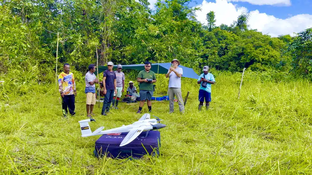
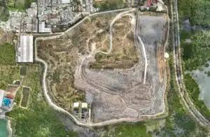
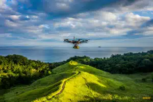
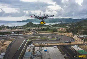
Using GPS, guided by the local’s historical knowledge and our team estimation, we marked boundaries based on the locals’ descriptions and began mapping the area. With the Quantum Trinity F90+, we surveyed approximately 600 hectares with GSD 1.5 cm/pixel to easily detect every small pieces of the airplane chunk.

