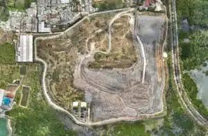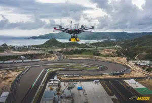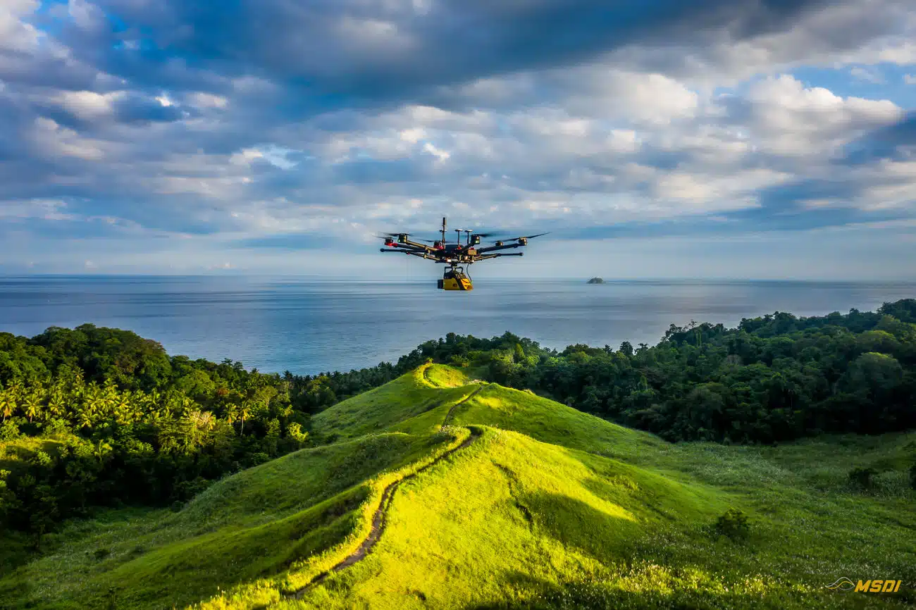
MSDI, a leading LiDAR services provider, recently partnered with the Masarang Foundation, a renowned ecological organization, to expedite reforestation efforts in North Sulawesi, Indonesia. Employing state-of-the-art LiDAR technology, MSDI successfully conducted topographic and hydrologic analysis, which allowed the foundation to create an optimal restoration plan for the 500-hectare site. This collaboration not only accelerated the reforestation project but also demonstrated the benefits of LiDAR technology in environmental preservation efforts.
The Masarang Foundation, which has reforested 35 million trees over two decades, recently acquired 500 hectares of degraded land in North Sulawesi to restore and conserve. Given the vast area and challenging terrain, traditional topographic surveys would have been costly and time-consuming. The project’s goals included establishing a natural carbon sink while generating food and fuel from the forest to create a strong economic base for the community. LiDAR technology emerged as the optimal solution for fast and accurate mapping.
MSDI was contracted by the Masarang Foundation to carry out LiDAR scans for topographic and hydrologic analysis. By conducting LiDAR surveys over the 500-hectare area, they created a 3D plan that enabled the foundation to optimize the distribution and growth of the re-planted trees. The scans also allowed for more efficient resource allocation and improved forest maturity success rates. Furthermore, the partnership with MSDI, which has extensive experience in Indonesia, ensured the project’s rapid execution and reliable results.
Key Parameters:
- Survey size: 500 hectares in Manado, North Sulawesi
- Duration: Completed in one day with a single take-off point
- Flights: 11 flights at 6.5 m/s, 75m AGL, with 135-meter line spacing
- Equipment: YellowScan Vx15-100 with DJI matrice 600 pro; Mavic 2 pro for photogrammetry
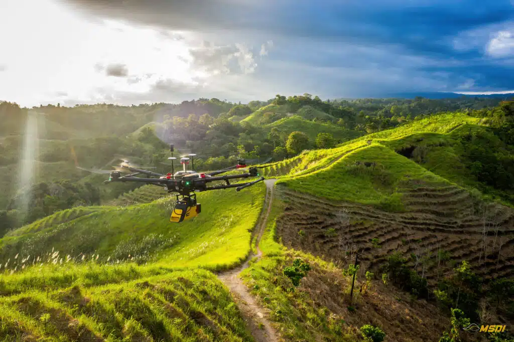
The LiDAR scans achieved a point density of 60 points/m² with an accuracy of 2 cm, providing excellent results for DTM generation. The rapid acquisition and high-quality results satisfied the client and likely contributed to securing additional funding for the project. The YellowScan Vx15-100’s ease of setup and quick data generation enabled the reforestation project to start sooner while saving time and reducing expenses.


Conclusion:
The successful collaboration between MSDI and the Masarang Foundation demonstrates the advantages of integrating LiDAR technology into reforestation efforts. Not only did it expedite the mapping process, but it also provided accurate and reliable data to optimize tree planting and resource allocation. This partnership serves as an inspiring example for NGOs and organizations working in environmental conservation, showcasing the potential of geomatics and innovative technology to accelerate ecological restoration projects. As global awareness of the importance of reforestation grows, similar collaborations can contribute significantly to the ecological balance of our planet, paving the way for a greener and more sustainable future.

