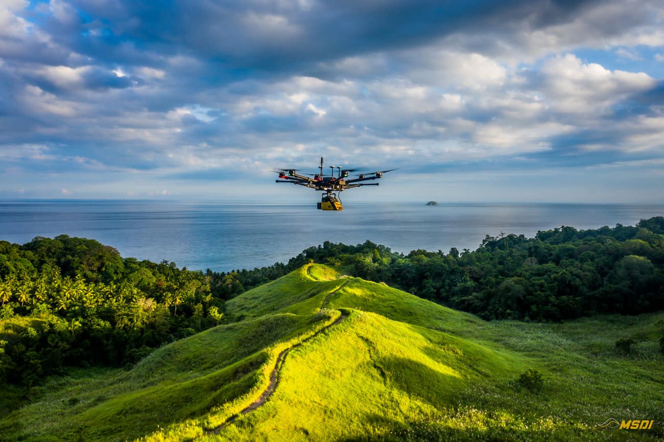
MSDI, penyedia layanan LiDAR terkemuka, baru-baru ini bermitra dengan Yayasan Masarang, sebuah organisasi ekologi ternama, untuk mempercepat upaya reboisasi di Sulawesi Utara, Indonesia. Dengan menggunakan teknologi LiDAR yang canggih, MSDI berhasil melakukan analisis topografi dan hidrologi, yang memungkinkan yayasan tersebut membuat rencana restorasi yang optimal untuk lokasi seluas 500 hektar.
Continue reading
