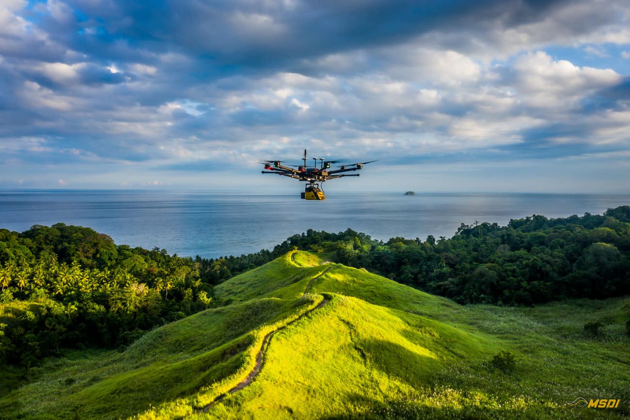
MSDI, penyedia layanan LiDAR terkemuka, baru-baru ini bermitra dengan Yayasan Masarang, sebuah organisasi ekologi ternama, untuk mempercepat upaya reboisasi di Sulawesi Utara, Indonesia. Dengan menggunakan teknologi LiDAR yang canggih, MSDI berhasil melakukan analisis topografi dan hidrologi, yang memungkinkan yayasan tersebut membuat rencana restorasi yang optimal untuk lokasi seluas 500 hektar.
Continue reading550ha Diakuisisi dengan Lidar di Lombok untuk pengembangan real estat
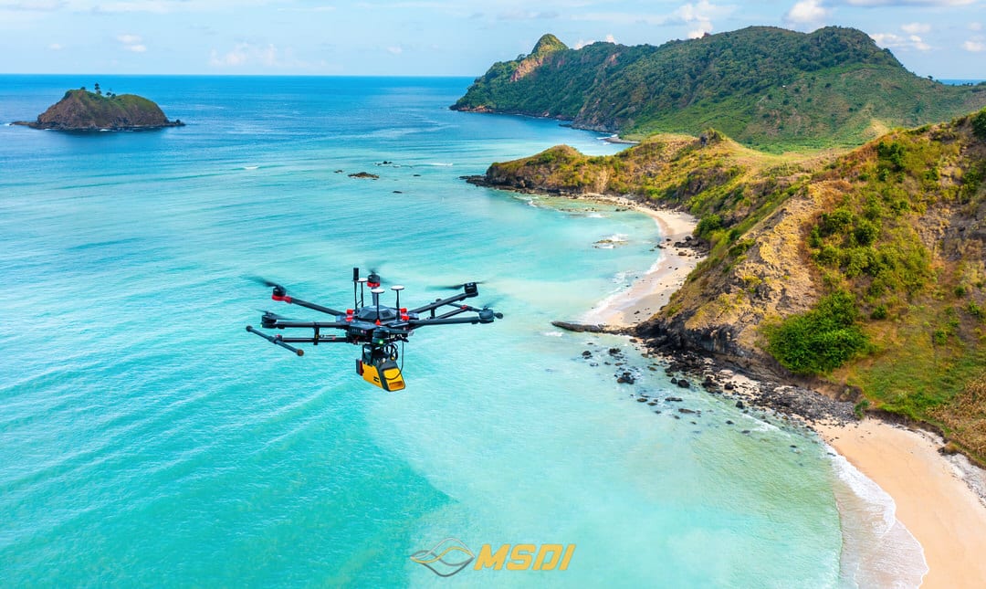
Lombok, dengan total area mencapai 550 hektar yang tersebar di beberapa titik. Setiap lokasi benar-benar luar biasa, mulai dari pantai berpasir putih, laguna biru, hingga tebing-tebing yang memukau. Semua ini menjadi kombinasi sempurna yang ideal untuk eksplorasi drone kami.
Continue reading5000 Ha Akuisisi Lidar untuk pembukaan pertambangan di Melak- kalimantan
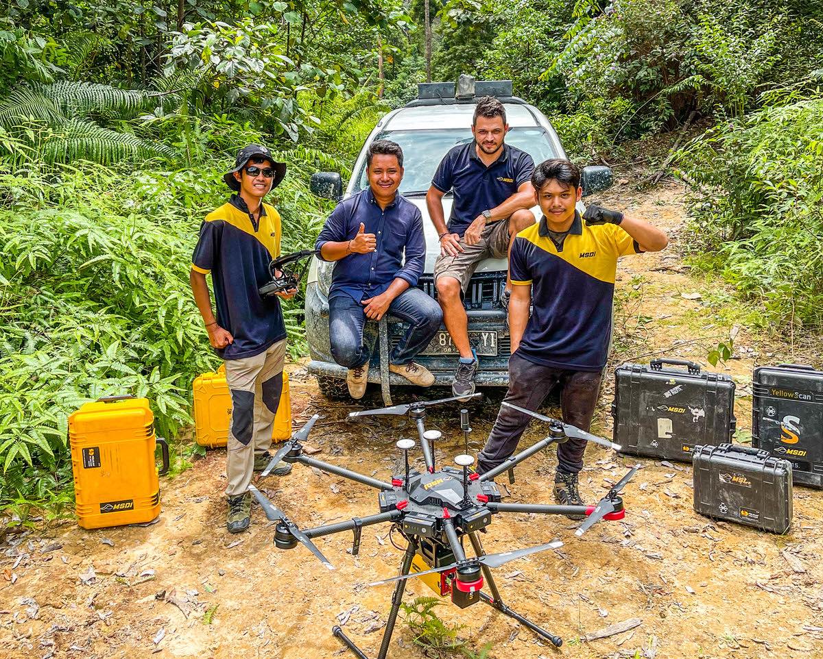
Pulau Kalimantan, atau yang disebut juga sebagai Borneo, terkenal akan kekayaan sumber daya alam nya yang melimpah terutama Batubara. Pulau kalimantan adalah pulau terbesar di Indonesia dan urutan ke -5 terbesar di Dunia
Continue readingPemetaan oleh Lidar Total 20ha di Surabaya – Jawa Timur
Walaupun hanya sebentar namun mengesankan. Kami melakukan pemetaan sekitar 20Ha di wilayah Surabaya di bulan Oktober lalu.
Continue reading


