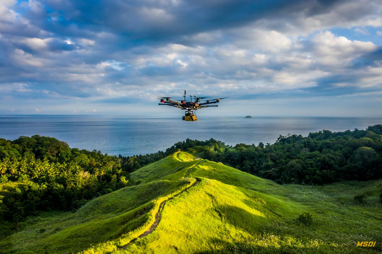
MSDI, penyedia layanan LiDAR terkemuka, baru-baru ini bermitra dengan Yayasan Masarang, sebuah organisasi ekologi ternama, untuk mempercepat upaya reboisasi di Sulawesi Utara, Indonesia. Dengan menggunakan teknologi LiDAR yang canggih, MSDI berhasil melakukan analisis topografi dan hidrologi, yang memungkinkan yayasan tersebut membuat rencana restorasi yang optimal untuk lokasi seluas 500 hektar.
Continue readingPemetaan Sirkuit Internasional Mandalika di Lombok – MotoGP22
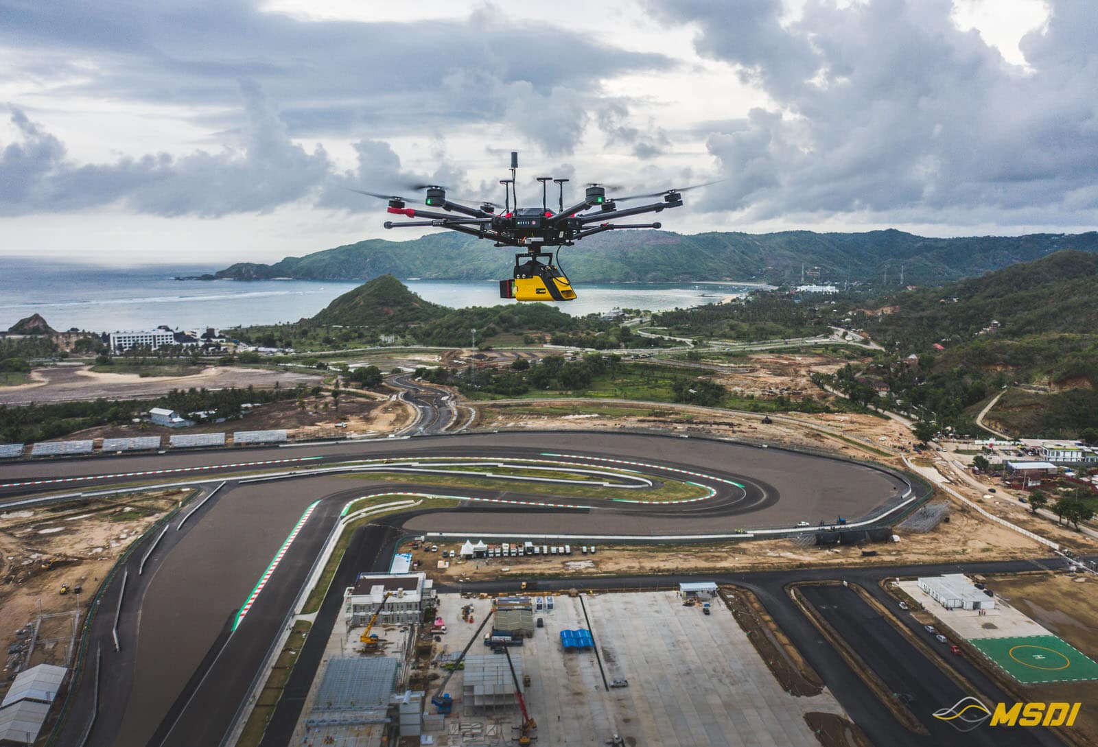
Video game menjadi semakin canggih dan studio pengembangan mendorong realisme lebih jauh lagi berkat teknologi baru dan konsol game yang semakin kuat selama bertahun-tahun. Inilah sebabnya mengapa tantangan proyek kami, untuk studio pengembangan dengan menciptakan ‘Digital Twins’ dari sirkuit Mandalika yang baru.
Continue reading550ha Diakuisisi dengan Lidar di Lombok untuk pengembangan real estat
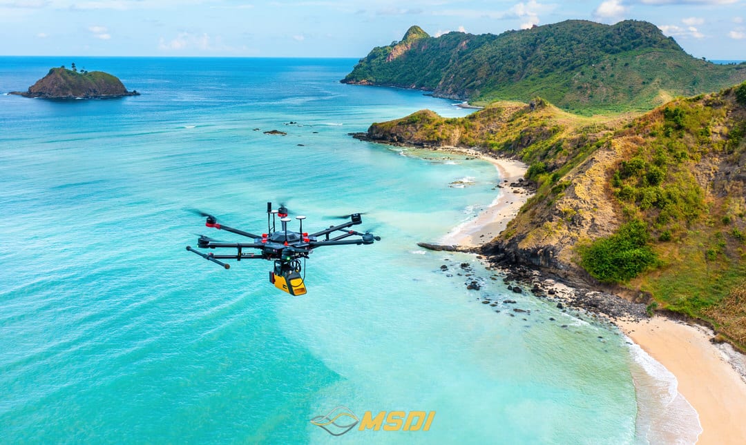
Lombok, dengan total area mencapai 550 hektar yang tersebar di beberapa titik. Setiap lokasi benar-benar luar biasa, mulai dari pantai berpasir putih, laguna biru, hingga tebing-tebing yang memukau. Semua ini menjadi kombinasi sempurna yang ideal untuk eksplorasi drone kami.
Continue readingFotogrametri Lahan di Depan Pantai Tabanan – Bali
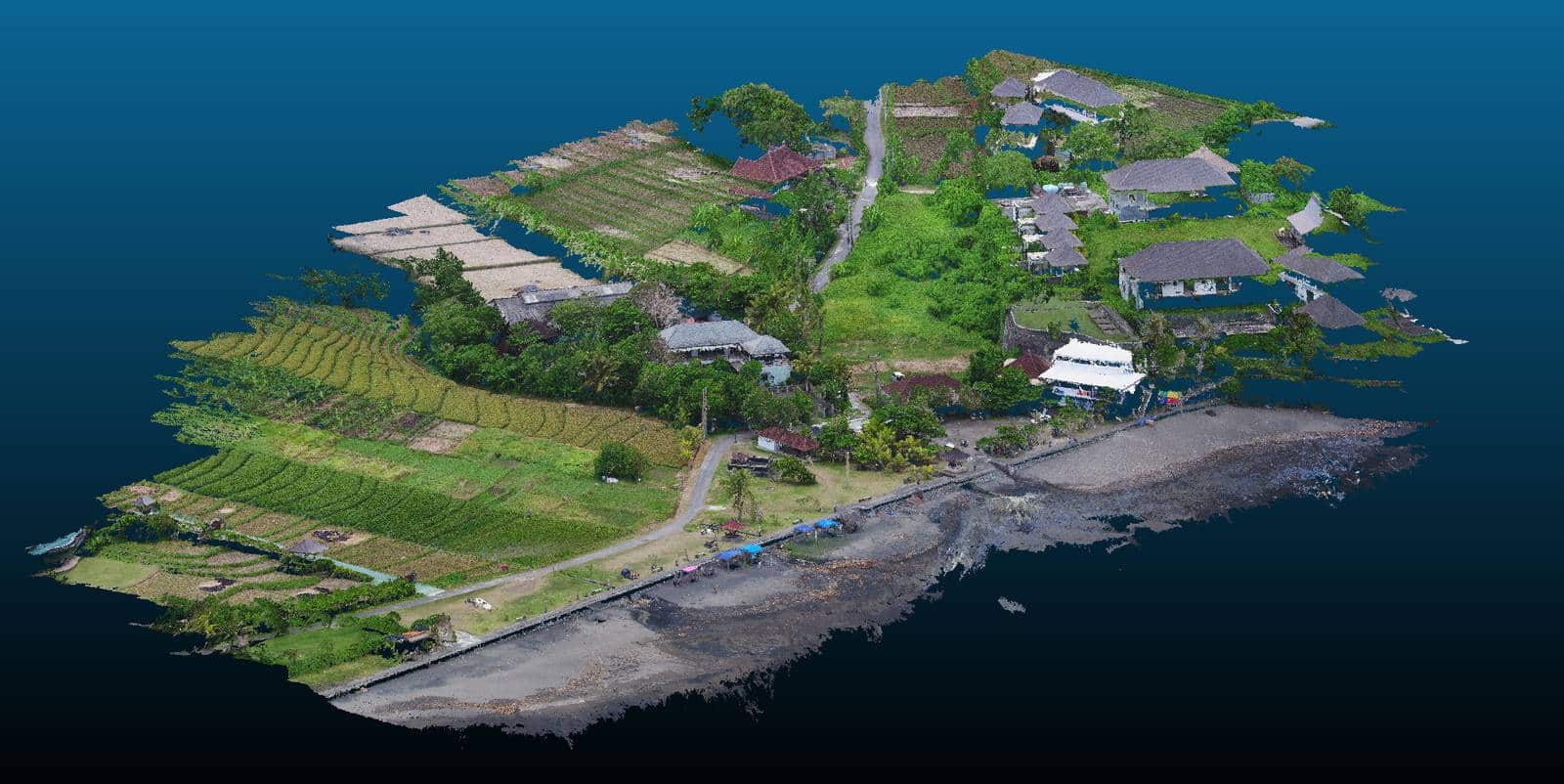
Untungnya, tidak semua investor di Bali menyerah menghadapi pandemi Covid-19, beberapa dari mereka memanfaatkan periode yang agak sepi ini untuk memajukan proyek mereka.
Continue readingPemetaan oleh Lidar Total 20ha di Surabaya – Jawa Timur
Walaupun hanya sebentar namun mengesankan. Kami melakukan pemetaan sekitar 20Ha di wilayah Surabaya di bulan Oktober lalu.
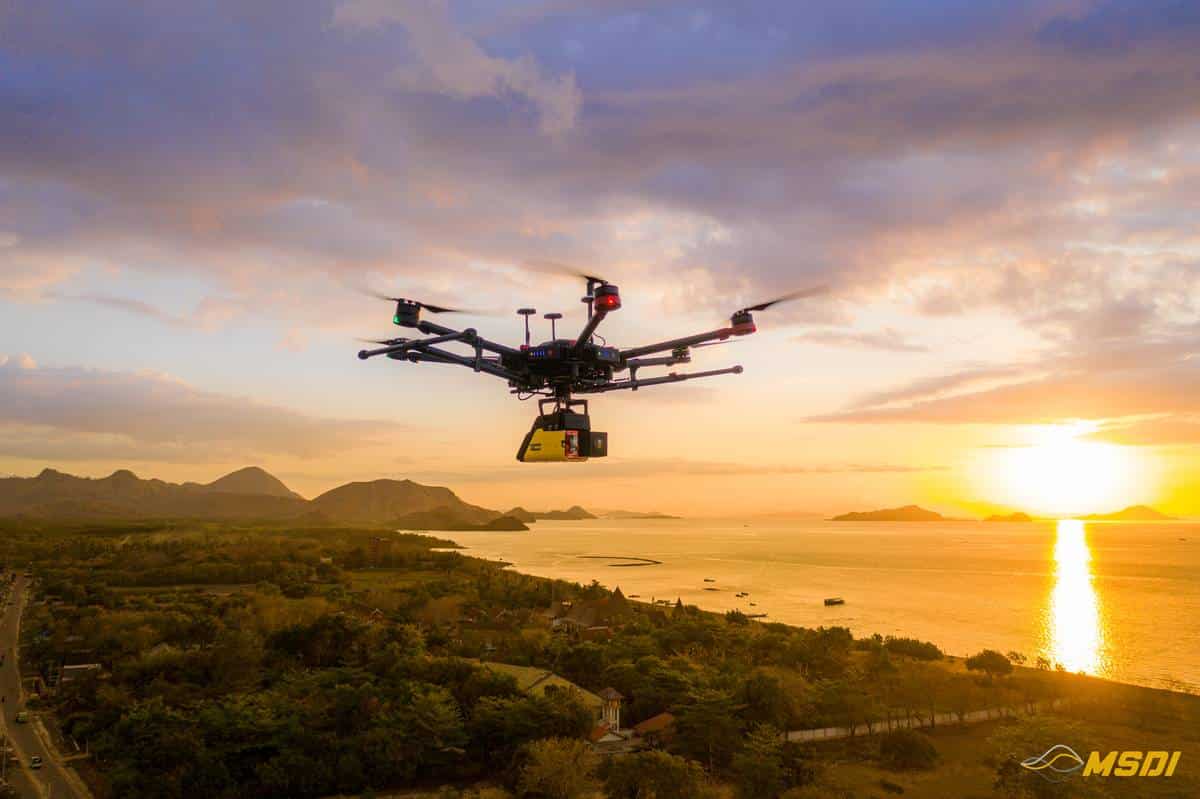
Continue reading25 km koridor pemetaan lidar di Labuan Bajo – Flores
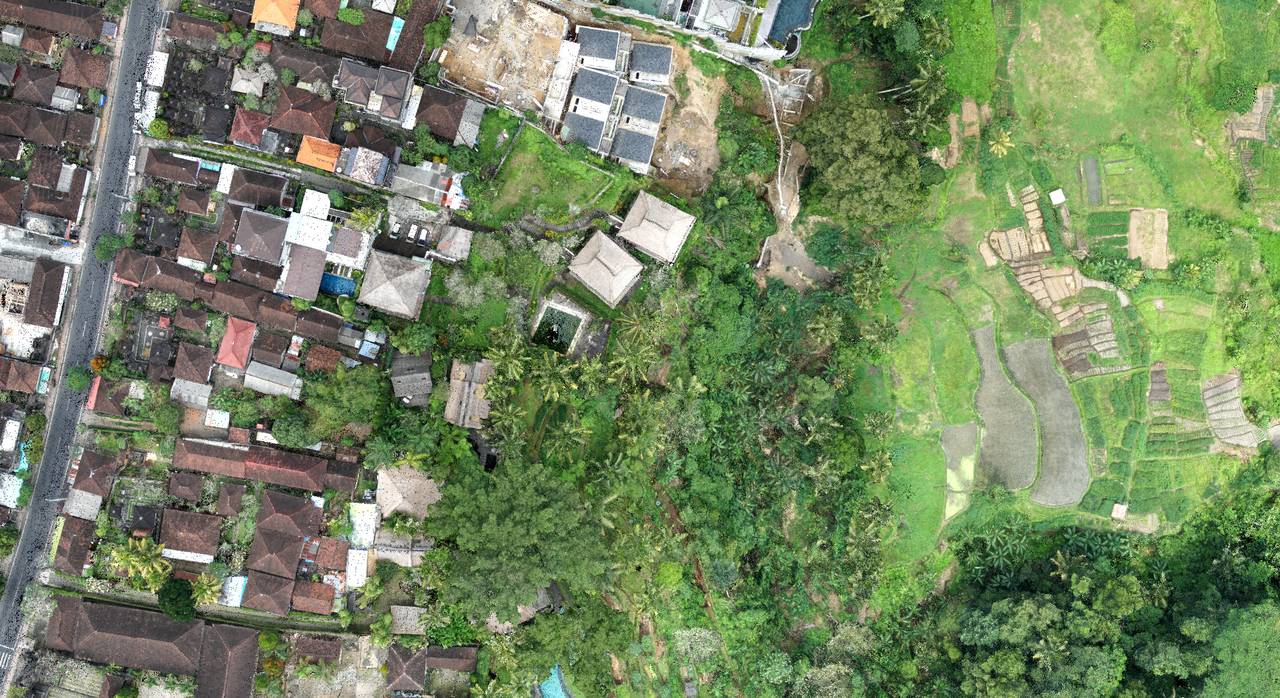
Topografi Lidar untuk Program Renovasi Hotel di Ubud – Bali
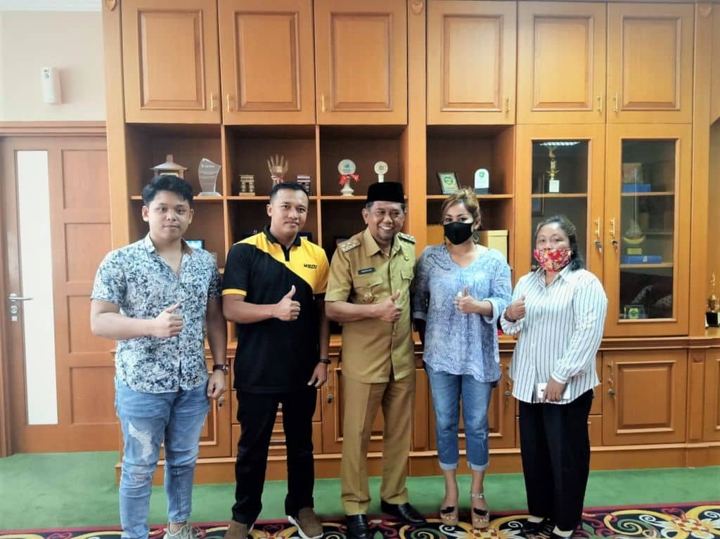
Kolaborasi dengan Wakil Gubernur Penajam Paser Utara – Kalimantan
Dengan penuh rasa kebanggaan dan penuh hormat, MSDI telah diundang oleh Wakil Gubernur Penajam Paser Utara (PPU) yaitu Ir.H.Hamdam untuk membahas beberapa program kedepan dan cara sistem kerja kami secara profesional.
Continue reading
