Cartographie centimétrique de 200 Ha pour BPN à Karangasem – BALI
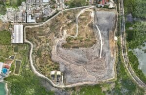
Afin de maintenir les plans d’infrastructure à jour et de suivre le développement avec précision, nous avons travaillé avec la National Land Agency (Badan Pertanahan Nasional connue sous le nom de BPN) pour fournir des cartes orthomosaïques précises au centimètre près sur 200 ha au nord de Bali et plus précisément. , Karangasem. Le projet s’étendra sûrement jusqu’en 2020 pour couvrir plus de terres.
Client
BPN (Badan Pertanahan Nasional)
Qu'avons nous fait ?
Cartographie 3D UAV / topographie centimétrique
Orthomosaic Map
200 ha centimetric mapping in karengassem
HD Orthomosaic Map
200 ha centimetric mapping in karengassem
HD Orthomosaic Map
High accuracy and detailed map
Google maps Integration
The plans can be layered on current maps such as google maps, open plan, etc ...
RTK GNSS accuracy
we used our RTK GNSS antenna and GCP to provide centimeter accuracy
Previous slide
Next slide


No comment yet, add your voice below!