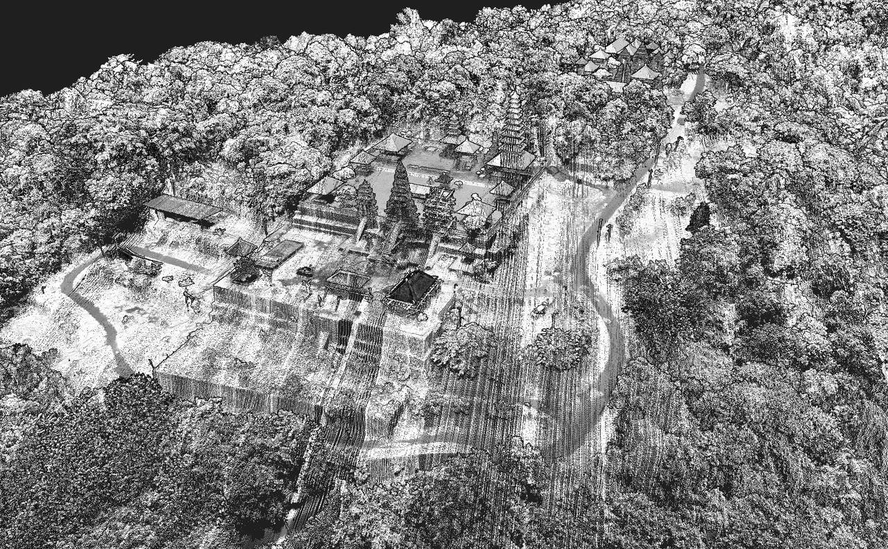
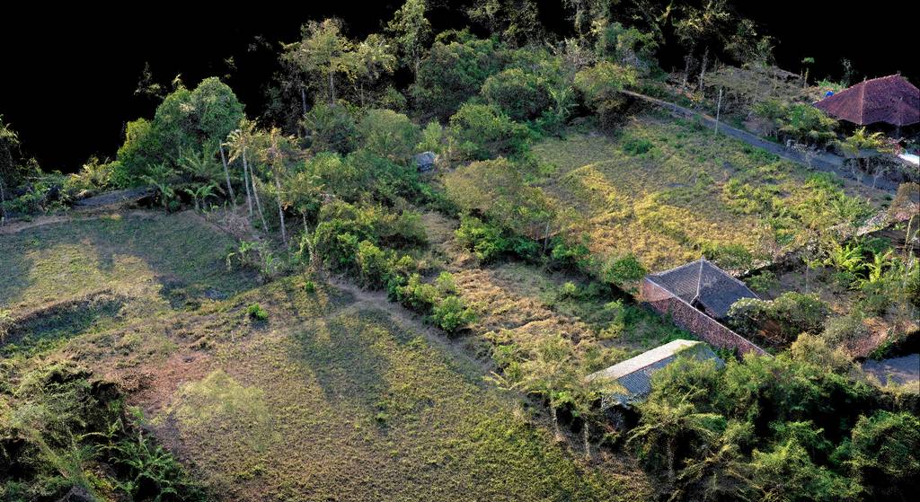
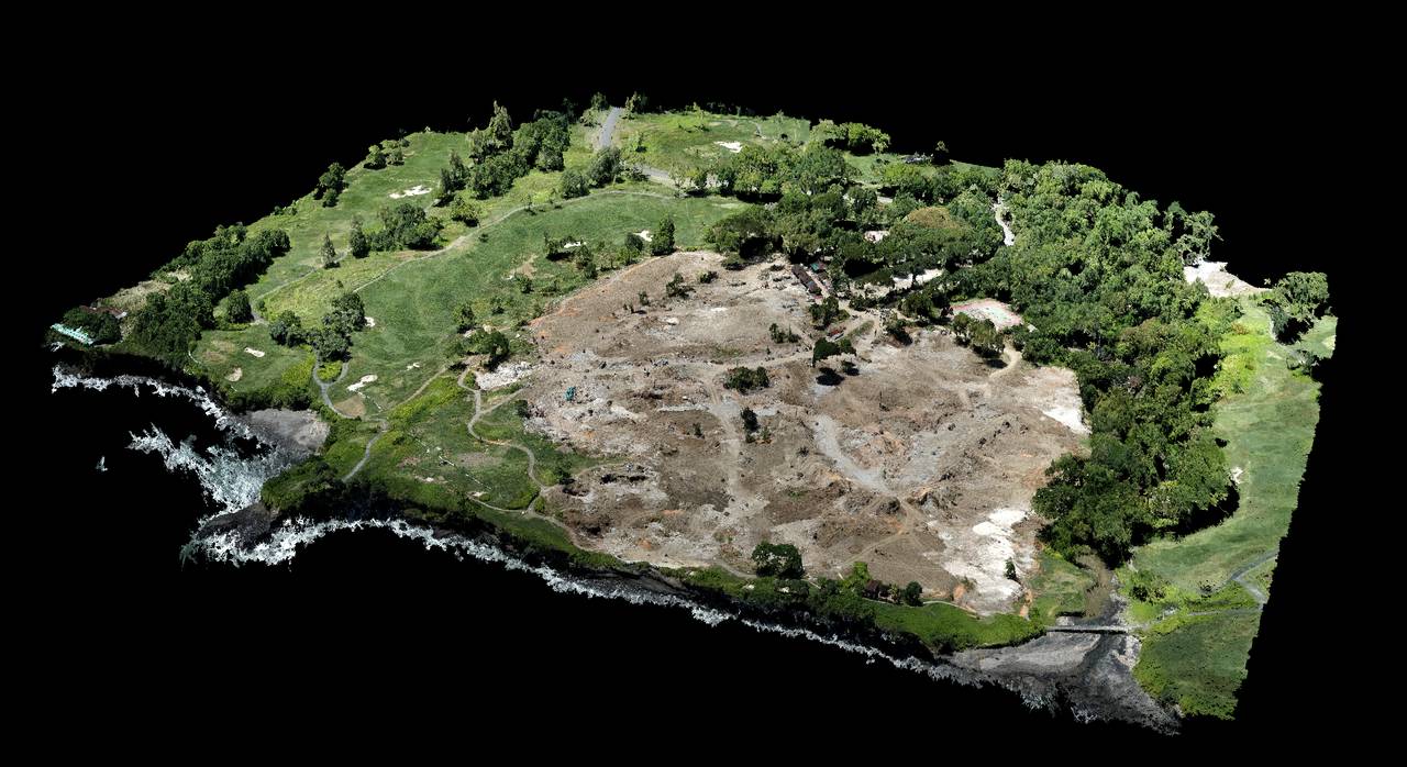
Archeology researchers love lidar data because it allows details that are almost impossible to see with the naked eye, let alone stay on the ground.
Continue reading200 Ha centimetric Mapping for BPN in Karangasem – BALI
In order to keep the infrastructure plans up-to-date and track development accurately, we have worked with National Land Agency (Badan Pertanahan Nasional known as BPN) to provide accurate orthomosaic maps to the centimeter for 200ha in the north of Bali and more precisely, Karengassem. The project will surely expand to 2020 to cover more land.
Customer
BPN (Badan Pertanahan Nasional)
What We Did
Mapping / centimeter topography
Documentary of Pelindo Energy Logistik (PEL) – BALI

The Japanese firm LNG who is working with PEL (Pelindo Energy Logistik) is making a documentary about the technology and the collaboration between the 2 companies. We were working with the production house Trilogy to provide video of the boat arriving in the harbor and of the equipment on site. Our skills and knowledge of the industry were very important for recording and flying in this high-risk area.
Customer
Trilogy media
PEL (Pelindo Energy Logistik)
LNG
What We Did
Drone video recording in high risk area
Real-Estate development Topography project – LOMBOK
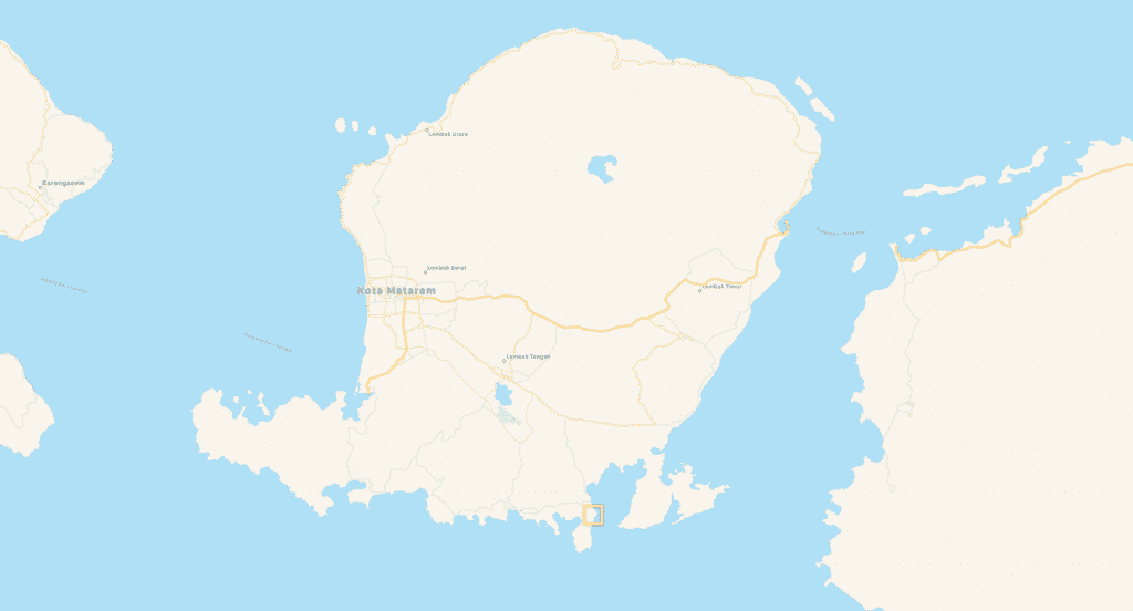
In the south of lombok, we had a new project for a private investor who needed 3D mapping for his new land. The architect needed 3D model for simulate the new building. We provided different output like 3D mesh, point cloud, contour line, DTM et 3D video.
Customer
Private Real estate development owner
What We Did
Mapping / centimeter topography
They speak about us: Pol Palacios
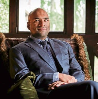
Pol Palacios, a high-level drilling engineer in oil and gas, gave us the privilege to be our Senior board advisor. It is a great pleasure to welcome him among us.
From LinkedIn :
Hi Folks, Yes, no shame. Some time it is good to promote things where we have a vested interest (I’m a non-executive board guy there) and to help young and determined people like Arnaud Denisot. #LocalContent, Oil and Gas. #inspection. Geothermal. Mining. Agriculture. Forestry. Fishing. Natural resources. You name it. Now MSDI is the next stage and you want to use them. Bringing industrial level heavy duty drone services in #Indonesia and beyond with #lidar and full spectrum of #mapping and #3dmapping. Arnaud Denisot has done a phenomenal job over the past years to bring compliant and technological #droneservices to Indonesia where he has been one of the pioneers of the industry with Bali Drone Production. Hashtagging some of my regional network for awareness and wishing Happy New Year to all of them:YellowScan PERTAMINA EP Meri Magdalena Ade Nurhidayat Pungki Ariyanto Russell Morrice Achmad Fahmi Alaydrus Jean-Philippe BERAUD Rifkiandi Darajatun Irawan H Haditomo, STsi, MM Boy Idroos Troy Kiper Conor Egan PT Total Oil Indonesia Thierry BATOT Daniel Bethel Ferdy Serah Andréa ⚡️ Bensaid DJI
https://www.linkedin.com/posts/activity-6616854024471789568-ZYTa
Private land development in Pering Gianyar – BALI
Yet another project for a land development, located in Pering in the Gianyar region of Bali for a private client.
Continue readingTrump Hotel Project – Tanah Lot – BALI
In order to set up security teams on the new construction site of Donald Trump’s real estate project, we were commissioned to establish a 3D map of the land
Continue reading
