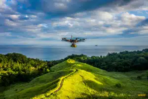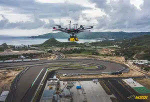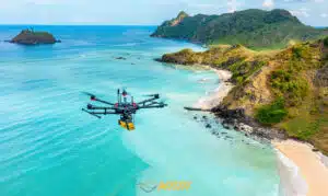
It was fast but it was nice. We did a mapping of approximately 20Ha in the area of Surabaya this October. The project included the data acquisition by lidar and photogrammetry for the development of a waste recycling plant. We used the technology PPK but we have also positioned marks on the ground to increase our accuracy with our Trimble GNSS equipment. After establishing the GCPs, it took us less than an hour to complete the data acquisition with our Yellowscan VX-15. Our flexibility allowed our clients to obtain the data they wanted quickly. They were thus able to continue to move forward on the project without delay.
Client
International Private company
WHAT WE DID
3D LiDAR topography by drone / photogrammetry mapping / UAV 3D mapping
Thanks to our qualified engineers, our team can also intervene quickly anywhere in Indonesia and abroad. Our high-end equipment allows us to provide you with quality services and ensure optimal precision for all your projects. Do not hesitate to get in touch with us for more information about our services.


No comment yet, add your voice below!