Photogrammetry Mapping
The mapping by drone is the new trending solution to make a 3D map of a land, contours line, 3D rendering of city or building. The photogrammetry is the entry level mapping technology.
The mapping by drone is the new trending solution to make a 3D map of a land, contours line, 3D rendering of city or building. The photogrammetry is the entry level mapping technology.
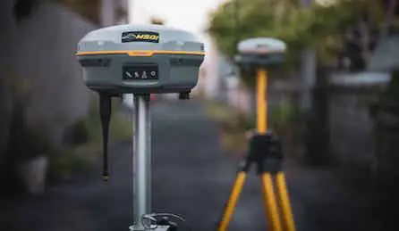
Our equipments are able to provide centimeter accuracy. We use RTK technology to synchronize our drones to provide very precise plans. The accuracy varies from 3 to 5 cm in photogrammetry and between 0.5 and 2.5cm for LiDAR.
Forget all the constraints of traditional drone mapping. LiDAR mapping allows you to pierce the vegetation and provides a high level of precision: up to 5 layers of foliage and 0.5 cm of accuracy with the LiDAR sensor that we use.
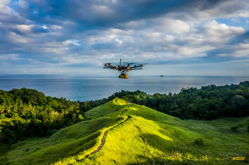
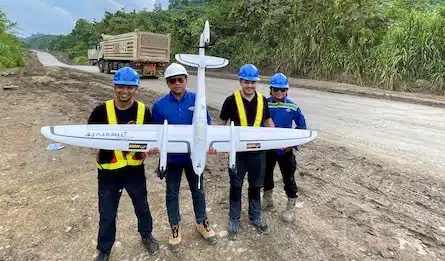
MSDI is providing UAV solutions for industry and topography in Indonesia. Drone Mapping, High-end LiDAR technology, High accuracy for real estate or civil engineering project, forest management, Oil and GAS, corridor, mining, 3D model, Archaeology, Asset inspections.
Because time is precious and some project can't wait, we answer you under 24H and we deliver the final files in the best delay.
Every project is different and can contain some surprises, our drones are covered by international insurance.
Our team is composed of engineers ready to work on your project and provide you with the best results possible.
In our job, the drones are not toys, it's why all our drone operators are licensed by the Indonesian Ministry of transportation.
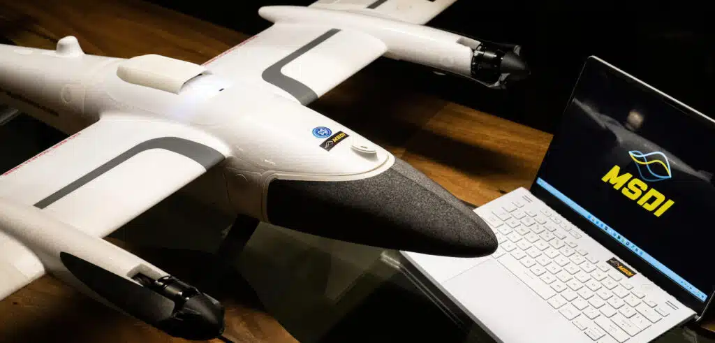
Discover our new Quantum Trinity F90+ equipped with the Sony RX1R II 42Mp and push the limits of efficiency even further.

Because the drone surveys are faster than a conventional survey, it makes all the costs down. Time is one of the keys to improving the cost. Waiting for weeks or months to get maps can be very expensive for your company because your team is waiting during the process. The drone survey also doesn’t need many staff to process the flight, so we improve also the cost of exploitation and extra charges like accommodation and logistic.
When the traditional survey/mapping takes weeks or months, the mapping by drones needs only couples days. Hundreds of hectares can be covered in only one day and the processing need sometime couples hours. The traditional mapping needs also more staff to finalize big areas and can cost more money. The drone mapping can save both: time and money
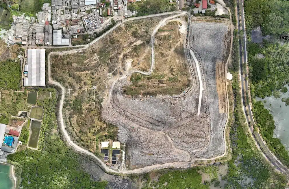
With the drone mapping, you have all the details visible. Every stone, trees, buildings can be displayed accurately on the map. We can also choose the degree of detail that we need during the exportation of the data. The drone mapping is perfect also for the architects who want to simulate a project with the real environment. Traditional surveys are limited to the major contour or elevation so the maps contain less information and are less accurate.
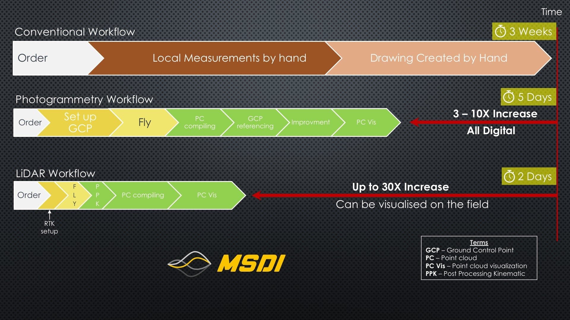
Conventional Survey VS Drones survey

Some missions can be risky, like powerline inspection, antennas, rooftop, or sometimes definitely not accessible because of the vegetation or the terrain that is too rugged.With drones, we can keep a safe distance from the danger and mostly, stay on the ground. No need to take the risk to climb, or use an expensive solution like helicopters, our drones are here for your missions.
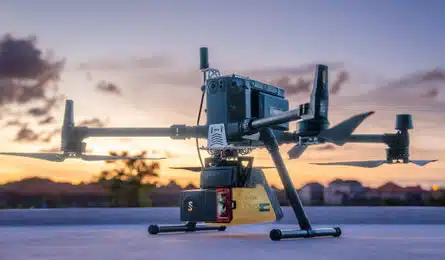
Our LiDAR equipment is designed for complex flights operation. We are able to produce a real-time point cloud to monitor if all the data are accurate and the area is covered.
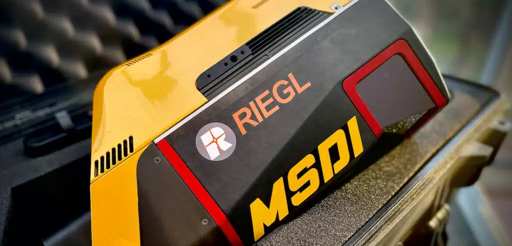
As the lidar is 15 echoes capable, this one is able to pierce the vegetation and see trough the canopy, perfect for the difficult field access.
We are able to accurately map vegetated land. Our laser sensor can pass through 15 layers of foliage! It is the most advanced technology on the market!
The drones and our equipment are synchronized with the GNSS RTX antenna to provide centimeter precision. Our lidar has also an accuracy of 0,5cm to provide the best result.
The final files we provide can be exported in many extensions according to your GIS software. Autocad is one of the most famous, but we have so many other possibilities.
With a frequency of 1.8 GHz, our latest sensor is capable of taking 1.8 million measurements per second providing an ultra-high density of points, leaving no detail missed.


Jl.Tukad Balian No.154B, Denpasar, Bali
Mon–Sat: 09:00–18:00
E-mail : contact@msdi.co.id
Jl.Tukad Balian No.154B, Denpasar, Bali
Senin-Sabtu: 09:00–18:00
E-mail : contact@msdi.co.id